Area Overview for B32 4LJ
Photos of B32 4LJ
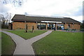
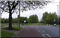
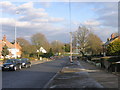
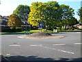
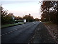
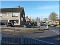
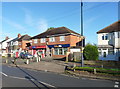
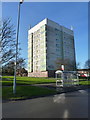
18 photos from this area
Area Information
Key information about the B32 4LJ including its size, population, and administrative classification.
- Area Type
- Postcode
- Area Size
- 5812 m²
- Population
- 1176
- Population Density
- 4621 people/km²
House Prices in B32 4LJ
24
Properties
£131,768
Average Sold Price
£45,500
Lowest Price
£265,000
Highest Price
Showing 24 properties
| Address | Type | Beds | Baths | Last Sale Price | Last Sale Date | |
|---|---|---|---|---|---|---|
| 169 Pinewood Drive, Birmingham, B32 4LJ | Semi-detached | 3 | 2 | £265,000 | Mar 2025 | |
| 155 Pinewood Drive, Birmingham, B32 4LJ | Terraced | 3 | 1 | £155,000 | Oct 2020 | |
| 199 Pinewood Drive, Birmingham, B32 4LJ | Semi-detached | 3 | 1 | £193,500 | Aug 2019 | |
| 173 Pinewood Drive, Birmingham, B32 4LJ | house | 3 | 1 | £175,000 | Aug 2019 | |
| 161 Pinewood Drive, Birmingham, B32 4LJ | Semi-detached | 4 | 1 | £173,250 | Jun 2018 | |
| 177 Pinewood Drive, Birmingham, B32 4LJ | house | - | - | £150,000 | Aug 2017 | |
| 171 Pinewood Drive, Birmingham, B32 4LJ | Semi-detached | 3 | - | £125,000 | Feb 2014 | |
| 167 Pinewood Drive, Birmingham, B32 4LJ | house | - | - | £93,000 | Aug 2011 | |
| 175 Pinewood Drive, Birmingham, B32 4LJ | house | - | - | £102,000 | Sep 2008 | |
| 157 Pinewood Drive, Birmingham, B32 4LJ | house | - | - | £129,000 | Nov 2007 |
Page 1 of 3
Energy Efficiency in B32 4LJ
Amenities
Schools
| Rank | School | Type | Entry gender | Ages |
|---|
Explore more schools in this area
Go to Schools tabDemographics
Household Size
Two person
most common
Accommodation Type
Houses
most common
Tenure
89
majority
Ethnic Group
White
most common
Religion
N/A
most common
Household Composition
N/A
most common
Age
47
median
Adults (30-64 years)
most common
Household Deprivation
N/A
with no deprivation
NS-SEC
28
in Lower managerial occupations
Explore more demographic insights in this area
Go to Demographics tabPlanning
Planning Constraints
- Flood RiskPremium
- Ramsar Wetland SitesPremium
- Area of Outstanding Natural BeautyPremium
- Protected Nature ReservePremium
- Protected WoodlandPremium