Area Overview for B32 3TG
Photos of B32 3TG
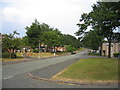
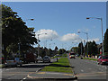
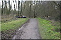
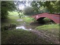
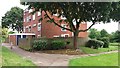
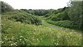
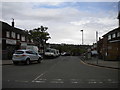
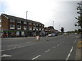
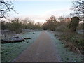
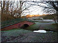
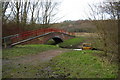
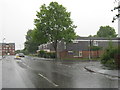
19 photos from this area
Area Information
Key information about the B32 3TG including its size, population, and administrative classification.
- Area Type
- Postcode
- Area Size
- 5.2 hectares
- Population
- 1447
- Population Density
- 2305 people/km²
House Prices in B32 3TG
55
Properties
£98,409
Average Sold Price
£37,500
Lowest Price
£195,000
Highest Price
Showing 55 properties
| Address | Type | Beds | Baths | Last Sale Price | Last Sale Date | |
|---|---|---|---|---|---|---|
| 54 Bean Croft, Birmingham, B32 3TG | Detached | 3 | 1 | £195,000 | Feb 2024 | |
| 32 Bean Croft, Birmingham, B32 3TG | Maisonette | 1 | 1 | £78,500 | Jan 2024 | |
| 50 Bean Croft, Birmingham, B32 3TG | Retail | 3 | 1 | £185,000 | Sep 2022 | |
| 31 Bean Croft, Birmingham, B32 3TG | Terraced | 3 | 1 | £160,000 | Sep 2022 | |
| 27 Bean Croft, Birmingham, B32 3TG | Terraced | 3 | 1 | £93,460 | Jul 2017 | |
| 55 Bean Croft, Birmingham, B32 3TG | Flat | - | - | £72,000 | May 2017 | |
| 17 Bean Croft, Birmingham, B32 3TG | Terraced | 3 | 2 | £106,000 | Apr 2017 | |
| 18 Bean Croft, Birmingham, B32 3TG | Terraced | 4 | 2 | £108,000 | Oct 2015 | |
| 52 Bean Croft, Birmingham, B32 3TG | Terraced | 3 | - | £95,000 | Jul 2013 | |
| 38 Bean Croft, Birmingham, B32 3TG | Terraced | - | - | £116,500 | May 2008 |
Page 1 of 6
Energy Efficiency in B32 3TG
Amenities
Schools
| Rank | School | Type | Entry gender | Ages |
|---|
Explore more schools in this area
Go to Schools tabDemographics
Household Size
One person
most common
Accommodation Type
Houses
most common
Tenure
44
majority
Ethnic Group
White
most common
Religion
N/A
most common
Household Composition
N/A
most common
Age
47
median
Adults (30-64 years)
most common
Household Deprivation
N/A
with no deprivation
NS-SEC
21
in Lower managerial occupations
Explore more demographic insights in this area
Go to Demographics tabPlanning
Planning Constraints
- Flood RiskPremium
- Ramsar Wetland SitesPremium
- Area of Outstanding Natural BeautyPremium
- Protected Nature ReservePremium
- Protected WoodlandPremium