Area Overview for B32 3TW
Photos of B32 3TW
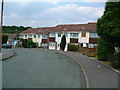
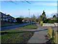
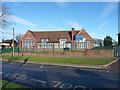
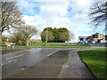
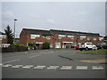
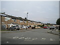
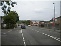
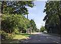
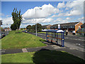
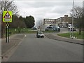
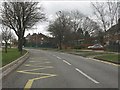
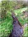
19 photos from this area
Area Information
Key information about the B32 3TW including its size, population, and administrative classification.
- Area Type
- Postcode
- Area Size
- 1.3 hectares
- Population
- 1447
- Population Density
- 2305 people/km²
House Prices in B32 3TW
46
Properties
£100,139
Average Sold Price
£44,000
Lowest Price
£161,000
Highest Price
Showing 46 properties
| Address | Type | Beds | Baths | Last Sale Price | Last Sale Date | |
|---|---|---|---|---|---|---|
| 18 Ox Leasow, Birmingham, B32 3TW | Terraced | 4 | 1 | £161,000 | Jul 2025 | |
| 62 Ox Leasow, Birmingham, B32 3TW | Flat | 1 | 1 | £105,000 | Oct 2022 | |
| 64 Ox Leasow, Birmingham, B32 3TW | Flat | - | - | £72,000 | Nov 2021 | |
| 38 Ox Leasow, Birmingham, B32 3TW | Terraced | 3 | 1 | £150,000 | Nov 2020 | |
| 32 Ox Leasow, Birmingham, B32 3TW | house | - | - | £116,000 | Jun 2018 | |
| 76 Ox Leasow, Birmingham, B32 3TW | Terraced | 3 | - | £130,000 | Jul 2017 | |
| 12 Ox Leasow, Birmingham, B32 3TW | Terraced | 3 | - | £87,000 | Mar 2017 | |
| 82 Ox Leasow, Birmingham, B32 3TW | Terraced | 4 | 2 | £115,000 | Apr 2014 | |
| 36 Ox Leasow, Birmingham, B32 3TW | house | 3 | - | £110,000 | Jan 2011 | |
| 78 Ox Leasow, Birmingham, B32 3TW | house | - | - | £110,000 | Aug 2008 |
Page 1 of 5
Energy Efficiency in B32 3TW
Amenities
Schools
| Rank | School | Type | Entry gender | Ages |
|---|
Explore more schools in this area
Go to Schools tabDemographics
Household Size
One person
most common
Accommodation Type
Houses
most common
Tenure
44
majority
Ethnic Group
White
most common
Religion
N/A
most common
Household Composition
N/A
most common
Age
47
median
Adults (30-64 years)
most common
Household Deprivation
N/A
with no deprivation
NS-SEC
21
in Lower managerial occupations
Explore more demographic insights in this area
Go to Demographics tabPlanning
Planning Constraints
- Flood RiskPremium
- Ramsar Wetland SitesPremium
- Area of Outstanding Natural BeautyPremium
- Protected Nature ReservePremium
- Protected WoodlandPremium