Area Overview for B32 2SY
Photos of B32 2SY
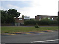
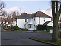
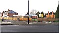
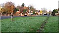
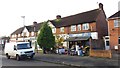
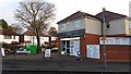

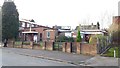
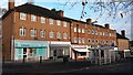


27 photos from this area
Area Information
Key information about the B32 2SY including its size, population, and administrative classification.
- Area Type
- Postcode
- Area Size
- 1.8 hectares
- Population
- 1677
- Population Density
- 6738 people/km²
House Prices in B32 2SY
35
Properties
£134,784
Average Sold Price
£48,000
Lowest Price
£290,000
Highest Price
Showing 35 properties
| Address | Type | Beds | Baths | Last Sale Price | Last Sale Date | |
|---|---|---|---|---|---|---|
| 205 White Road, Quinton, Birmingham, B32 2SY | Detached | 3 | 1 | £290,000 | Nov 2025 | |
| 174 White Road, Quinton, Birmingham, B32 2SY | house | - | - | £235,000 | Oct 2020 | |
| 168 White Road, Quinton, Birmingham, B32 2SY | Semi-detached | 3 | 1 | £247,500 | Feb 2020 | |
| 191 White Road, Quinton, Birmingham, B32 2SY | Semi-detached | 3 | 2 | £240,000 | Jul 2019 | |
| 179 White Road, Quinton, Birmingham, B32 2SY | house | - | - | £162,500 | Sep 2016 | |
| 203 White Road, Quinton, Birmingham, B32 2SY | house | - | - | £82,800 | Mar 2016 | |
| 184 White Road, Quinton, Birmingham, B32 2SY | Semi-detached | 3 | - | £134,000 | Jan 2013 | |
| 160 White Road, Quinton, Birmingham, B32 2SY | house | 3 | - | £153,000 | Aug 2011 | |
| 166 White Road, Quinton, Birmingham, B32 2SY | Semi-detached | - | - | £156,000 | Aug 2009 | |
| 182 White Road, Quinton, Birmingham, B32 2SY | Semi-detached | - | - | £163,000 | May 2007 |
Page 1 of 4
Energy Efficiency in B32 2SY
Amenities
Schools
| Rank | School | Type | Entry gender | Ages |
|---|
Explore more schools in this area
Go to Schools tabDemographics
Household Size
Family (3-5 people)
most common
Accommodation Type
Houses
most common
Tenure
61
majority
Ethnic Group
White
most common
Religion
N/A
most common
Household Composition
N/A
most common
Age
47
median
Adults (30-64 years)
most common
Household Deprivation
N/A
with no deprivation
NS-SEC
29
in Lower managerial occupations
Explore more demographic insights in this area
Go to Demographics tabPlanning
Planning Constraints
- Flood RiskPremium
- Ramsar Wetland SitesPremium
- Area of Outstanding Natural BeautyPremium
- Protected Nature ReservePremium
- Protected WoodlandPremium