Area Overview for B32 2SQ
Photos of B32 2SQ
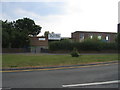
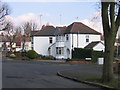
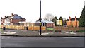
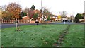
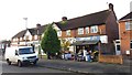
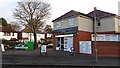
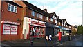
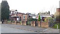
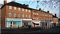
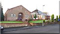
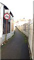
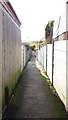
27 photos from this area
Area Information
Key information about the B32 2SQ including its size, population, and administrative classification.
- Area Type
- Postcode
- Area Size
- 1.3 hectares
- Population
- 1543
- Population Density
- 6428 people/km²
House Prices in B32 2SQ
52
Properties
£83,839
Average Sold Price
£27,000
Lowest Price
£153,000
Highest Price
Showing 52 properties
| Address | Type | Beds | Baths | Last Sale Price | Last Sale Date | |
|---|---|---|---|---|---|---|
| 42 Edison Grove, Birmingham, B32 2SQ | Flat | - | - | £80,000 | Mar 2023 | |
| 78 Edison Grove, Birmingham, B32 2SQ | Semi-detached | 2 | 1 | £153,000 | Oct 2022 | |
| 68 Edison Grove, Birmingham, B32 2SQ | Terraced | 3 | 1 | £150,000 | Sep 2021 | |
| 84 Edison Grove, Birmingham, B32 2SQ | Semi-detached | 2 | 1 | £135,000 | Oct 2018 | |
| 102 Edison Grove, Birmingham, B32 2SQ | Semi-detached | 3 | 1 | £62,500 | Mar 2014 | |
| 60 Edison Grove, Birmingham, B32 2SQ | Flat | - | - | £40,000 | Nov 2010 | |
| 24 Edison Grove, Birmingham, B32 2SQ | Terraced | - | - | £105,000 | May 2007 | |
| 104 Edison Grove, Birmingham, B32 2SQ | Semi-detached | - | - | £67,500 | Dec 2006 | |
| 26 Edison Grove, Birmingham, B32 2SQ | Detached | 3 | 1 | £88,500 | Sep 2006 | |
| 45 Edison Grove, Birmingham, B32 2SQ | Semi-detached | - | - | £109,000 | Jul 2005 |
Page 1 of 6
Energy Efficiency in B32 2SQ
Amenities
Schools
| Rank | School | Type | Entry gender | Ages |
|---|
Explore more schools in this area
Go to Schools tabDemographics
Household Size
Family (3-5 people)
most common
Accommodation Type
Houses
most common
Tenure
61
majority
Ethnic Group
White
most common
Religion
N/A
most common
Household Composition
N/A
most common
Age
47
median
Adults (30-64 years)
most common
Household Deprivation
N/A
with no deprivation
NS-SEC
26
in Lower managerial occupations
Explore more demographic insights in this area
Go to Demographics tabPlanning
Planning Constraints
- Flood RiskPremium
- Ramsar Wetland SitesPremium
- Area of Outstanding Natural BeautyPremium
- Protected Nature ReservePremium
- Protected WoodlandPremium