Area Overview for B32 2SJ
Photos of B32 2SJ
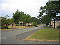
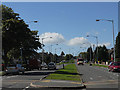
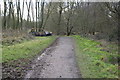
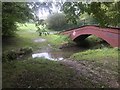
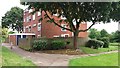
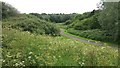
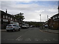
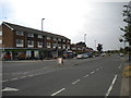
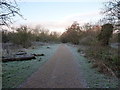
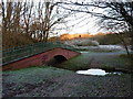
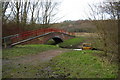
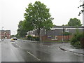
19 photos from this area
Area Information
Key information about the B32 2SJ including its size, population, and administrative classification.
- Area Type
- Postcode
- Area Size
- 9499 m²
- Population
- 1543
- Population Density
- 6428 people/km²
House Prices in B32 2SJ
36
Properties
£124,935
Average Sold Price
£35,000
Lowest Price
£258,000
Highest Price
Showing 36 properties
| Address | Type | Beds | Baths | Last Sale Price | Last Sale Date | |
|---|---|---|---|---|---|---|
| 48 Gorsy Road, Birmingham, B32 2SJ | house | - | - | £100,000 | Jul 2025 | |
| 69 Gorsy Road, Birmingham, B32 2SJ | house | 3 | 1 | £220,000 | Feb 2025 | |
| 51 Gorsy Road, Birmingham, B32 2SJ | Semi-detached | 3 | 1 | £258,000 | Nov 2021 | |
| 55 Gorsy Road, Birmingham, B32 2SJ | house | 3 | - | £215,000 | Oct 2020 | |
| 44 Gorsy Road, Birmingham, B32 2SJ | Detached | 3 | 1 | £180,000 | Dec 2019 | |
| 49 Gorsy Road, Birmingham, B32 2SJ | Semi-detached | 3 | 1 | £210,000 | Sep 2018 | |
| 67 Gorsy Road, Birmingham, B32 2SJ | Semi-detached | 3 | - | £151,000 | Jan 2015 | |
| 57 Gorsy Road, Birmingham, B32 2SJ | Semi-detached | 3 | 1 | £139,950 | Aug 2007 | |
| 43 Gorsy Road, Birmingham, B32 2SJ | Semi-detached | - | - | £130,000 | Mar 2005 | |
| 54 Gorsy Road, Birmingham, B32 2SJ | Detached | 3 | 1 | £127,000 | Aug 2003 |
Page 1 of 4
Energy Efficiency in B32 2SJ
Amenities
Schools
| Rank | School | Type | Entry gender | Ages |
|---|
Explore more schools in this area
Go to Schools tabDemographics
Household Size
Family (3-5 people)
most common
Accommodation Type
Houses
most common
Tenure
61
majority
Ethnic Group
White
most common
Religion
N/A
most common
Household Composition
N/A
most common
Age
47
median
Adults (30-64 years)
most common
Household Deprivation
N/A
with no deprivation
NS-SEC
26
in Lower managerial occupations
Explore more demographic insights in this area
Go to Demographics tabPlanning
Planning Constraints
- Flood RiskPremium
- Ramsar Wetland SitesPremium
- Area of Outstanding Natural BeautyPremium
- Protected Nature ReservePremium
- Protected WoodlandPremium