Area Overview for B32 2NS
Photos of B32 2NS
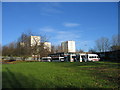
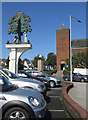
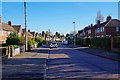
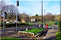
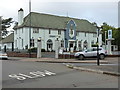
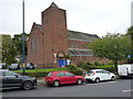
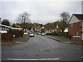
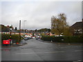
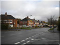
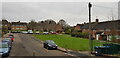
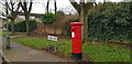
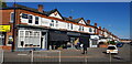
30 photos from this area
Area Information
Key information about the B32 2NS including its size, population, and administrative classification.
- Area Type
- Postcode
- Area Size
- 7976 m²
- Population
- 1772
- Population Density
- 8986 people/km²
House Prices in B32 2NS
24
Properties
£96,962
Average Sold Price
£38,000
Lowest Price
£145,000
Highest Price
Showing 24 properties
| Address | Type | Beds | Baths | Last Sale Price | Last Sale Date | |
|---|---|---|---|---|---|---|
| 17 Corfe Close, Birmingham, B32 2NS | Terraced | 3 | 1 | £145,000 | Jun 2020 | |
| 21 Corfe Close, Birmingham, B32 2NS | Terraced | 3 | 1 | £140,000 | Nov 2019 | |
| 16 Corfe Close, Birmingham, B32 2NS | Terraced | 3 | 1 | £120,000 | Dec 2018 | |
| 23 Corfe Close, Birmingham, B32 2NS | Terraced | 3 | 1 | £134,000 | Nov 2018 | |
| 11 Corfe Close, Birmingham, B32 2NS | Detached | 3 | 1 | £117,000 | Jan 2015 | |
| 27 Corfe Close, Birmingham, B32 2NS | Terraced | - | - | £90,000 | Sep 2011 | |
| 24 Corfe Close, Birmingham, B32 2NS | house | 3 | - | £70,000 | May 2011 | |
| 18 Corfe Close, Birmingham, B32 2NS | Terraced | 3 | 1 | £78,000 | Dec 2009 | |
| 25 Corfe Close, Birmingham, B32 2NS | Terraced | 3 | 1 | £109,000 | Nov 2006 | |
| 20 Corfe Close, Birmingham, B32 2NS | house | - | - | £90,000 | Mar 2006 |
Page 1 of 3
Energy Efficiency in B32 2NS
Amenities
Schools
| Rank | School | Type | Entry gender | Ages |
|---|
Explore more schools in this area
Go to Schools tabDemographics
Household Size
One person
most common
Accommodation Type
Houses
most common
Tenure
27
majority
Ethnic Group
White
most common
Religion
N/A
most common
Household Composition
N/A
most common
Age
47
median
Adults (30-64 years)
most common
Household Deprivation
N/A
with no deprivation
NS-SEC
16
in Lower managerial occupations
Explore more demographic insights in this area
Go to Demographics tabPlanning
Planning Constraints
- Flood RiskPremium
- Ramsar Wetland SitesPremium
- Area of Outstanding Natural BeautyPremium
- Protected Nature ReservePremium
- Protected WoodlandPremium