Area Overview for B32 2JU
Photos of B32 2JU
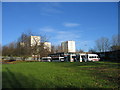
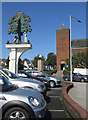
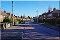
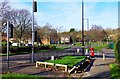
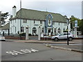
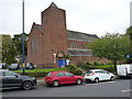
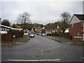
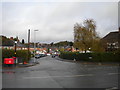
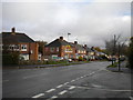
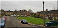
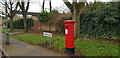
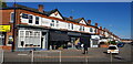
30 photos from this area
Area Information
Key information about the B32 2JU including its size, population, and administrative classification.
- Area Type
- Postcode
- Area Size
- 1.7 hectares
- Population
- 1772
- Population Density
- 8986 people/km²
House Prices in B32 2JU
63
Properties
£124,317
Average Sold Price
£39,000
Lowest Price
£285,000
Highest Price
Showing 63 properties
| Address | Type | Beds | Baths | Last Sale Price | Last Sale Date | |
|---|---|---|---|---|---|---|
| 97 Wisley Way, Birmingham, B32 2JU | Terraced | 3 | 1 | £285,000 | Mar 2025 | |
| 92 Wisley Way, Birmingham, B32 2JU | Terraced | 2 | 1 | £166,000 | Jul 2024 | |
| 80 Wisley Way, Birmingham, B32 2JU | Terraced | 3 | 1 | £195,000 | Feb 2023 | |
| 24 Wisley Way, Birmingham, B32 2JU | house | - | - | £155,000 | Sep 2021 | |
| 44 Wisley Way, Birmingham, B32 2JU | Terraced | 3 | 1 | £165,000 | Jun 2021 | |
| 36 Wisley Way, Birmingham, B32 2JU | Terraced | 3 | - | £160,000 | Jun 2021 | |
| 40 Wisley Way, Birmingham, B32 2JU | Terraced | 3 | 1 | £152,250 | Oct 2020 | |
| 11 Wisley Way, Birmingham, B32 2JU | Terraced | 2 | 1 | £129,950 | Aug 2020 | |
| 70 Wisley Way, Birmingham, B32 2JU | Terraced | 3 | 1 | £155,000 | Aug 2019 | |
| 30 Wisley Way, Birmingham, B32 2JU | Terraced | 3 | 1 | £154,000 | Jul 2019 |
Page 1 of 7
Energy Efficiency in B32 2JU
Amenities
Schools
| Rank | School | Type | Entry gender | Ages |
|---|
Explore more schools in this area
Go to Schools tabDemographics
Household Size
One person
most common
Accommodation Type
Houses
most common
Tenure
27
majority
Ethnic Group
White
most common
Religion
N/A
most common
Household Composition
N/A
most common
Age
47
median
Adults (30-64 years)
most common
Household Deprivation
N/A
with no deprivation
NS-SEC
16
in Lower managerial occupations
Explore more demographic insights in this area
Go to Demographics tabPlanning
Planning Constraints
- Flood RiskPremium
- Ramsar Wetland SitesPremium
- Area of Outstanding Natural BeautyPremium
- Protected Nature ReservePremium
- Protected WoodlandPremium