Area Overview for B31 4AD
Photos of B31 4AD


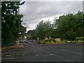
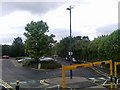
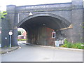
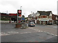
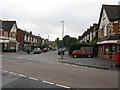
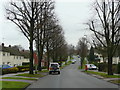
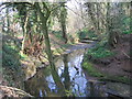
65 photos from this area
Area Information
Key information about the B31 4AD including its size, population, and administrative classification.
- Area Type
- Postcode
- Area Size
- 1.3 hectares
- Population
- 1818
- Population Density
- 6215 people/km²
House Prices in B31 4AD
28
Properties
£134,124
Average Sold Price
£55,000
Lowest Price
£192,250
Highest Price
Showing 28 properties
| Address | Type | Beds | Baths | Last Sale Price | Last Sale Date | |
|---|---|---|---|---|---|---|
| 53 Coleys Lane, Birmingham, B31 4AD | Bungalow | 3 | 1 | £125,000 | Sep 2025 | |
| 45 Coleys Lane, Birmingham, B31 4AD | Bungalow | 3 | 1 | £150,000 | Mar 2024 | |
| 38 Coleys Lane, Birmingham, B31 4AD | Semi-detached | 3 | 1 | £192,250 | May 2023 | |
| 40 Coleys Lane, Birmingham, B31 4AD | Semi-detached | 3 | 1 | £151,500 | Nov 2019 | |
| 31 Coleys Lane, Birmingham, B31 4AD | Bungalow | 2 | 1 | £181,500 | Oct 2019 | |
| 24 Coleys Lane, Birmingham, B31 4AD | Bungalow | 2 | 1 | £140,000 | Oct 2018 | |
| 49 Coleys Lane, Birmingham, B31 4AD | Semi-detached | 2 | - | £100,000 | Sep 2017 | |
| 33 Coleys Lane, Birmingham, B31 4AD | Bungalow | 4 | - | £157,000 | Jul 2017 | |
| 51 Coleys Lane, Birmingham, B31 4AD | Bungalow | - | - | £126,000 | May 2017 | |
| 29 Coleys Lane, Birmingham, B31 4AD | Semi-detached | 5 | 1 | £190,000 | May 2016 |
Page 1 of 3
Energy Efficiency in B31 4AD
Amenities
Schools
| Rank | School | Type | Entry gender | Ages |
|---|
Explore more schools in this area
Go to Schools tabDemographics
Household Size
One person
most common
Accommodation Type
Houses
most common
Tenure
50
majority
Ethnic Group
White
most common
Religion
N/A
most common
Household Composition
N/A
most common
Age
47
median
Adults (30-64 years)
most common
Household Deprivation
N/A
with no deprivation
NS-SEC
27
in Lower managerial occupations
Explore more demographic insights in this area
Go to Demographics tabPlanning
Planning Constraints
- Flood RiskPremium
- Ramsar Wetland SitesPremium
- Area of Outstanding Natural BeautyPremium
- Protected Nature ReservePremium
- Protected WoodlandPremium