Area Overview for B31 1PQ
Photos of B31 1PQ
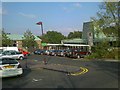
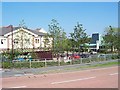
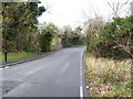
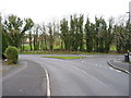
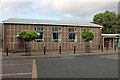
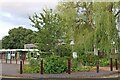
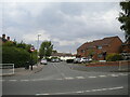
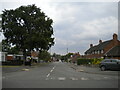
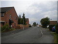
18 photos from this area
Area Information
Key information about the B31 1PQ including its size, population, and administrative classification.
- Area Type
- Postcode
- Area Size
- 8937 m²
- Population
- 1796
- Population Density
- 4695 people/km²
House Prices in B31 1PQ
31
Properties
£124,624
Average Sold Price
£8,975
Lowest Price
£230,252
Highest Price
Showing 31 properties
| Address | Type | Beds | Baths | Last Sale Price | Last Sale Date | |
|---|---|---|---|---|---|---|
| 63 Greenvale, Birmingham, B31 1PQ | Semi-detached | 3 | 1 | £220,000 | Mar 2025 | |
| 23 Greenvale, Birmingham, B31 1PQ | Terraced | 3 | 1 | £230,252 | Nov 2022 | |
| 54 Greenvale, Birmingham, B31 1PQ | Terraced | 3 | 1 | £8,975 | Feb 2022 | |
| 40 Greenvale, Birmingham, B31 1PQ | house | - | - | £175,000 | Jan 2022 | |
| 44 Greenvale, Birmingham, B31 1PQ | Semi-detached | 3 | 1 | £160,000 | Jun 2020 | |
| 24 Greenvale, Birmingham, B31 1PQ | Terraced | 3 | 1 | £172,000 | Mar 2020 | |
| 30 Greenvale, Birmingham, B31 1PQ | Terraced | 3 | 1 | £156,000 | Jul 2019 | |
| 36 Greenvale, Birmingham, B31 1PQ | house | - | - | £120,000 | Jun 2019 | |
| 35 Greenvale, Birmingham, B31 1PQ | Terraced | 3 | 1 | £155,000 | Mar 2019 | |
| 25 Greenvale, Birmingham, B31 1PQ | Terraced | 3 | - | £140,000 | Nov 2018 |
Page 1 of 4
Energy Efficiency in B31 1PQ
Amenities
Schools
| Rank | School | Type | Entry gender | Ages |
|---|
Explore more schools in this area
Go to Schools tabDemographics
Household Size
Family (3-5 people)
most common
Accommodation Type
Houses
most common
Tenure
56
majority
Ethnic Group
White
most common
Religion
N/A
most common
Household Composition
N/A
most common
Age
47
median
Adults (30-64 years)
most common
Household Deprivation
N/A
with no deprivation
NS-SEC
30
in Lower managerial occupations
Explore more demographic insights in this area
Go to Demographics tabPlanning
Planning Constraints
- Flood RiskPremium
- Ramsar Wetland SitesPremium
- Area of Outstanding Natural BeautyPremium
- Protected Nature ReservePremium
- Protected WoodlandPremium