Area Overview for B31 1LS
Photos of B31 1LS
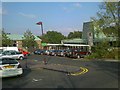
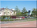
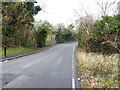
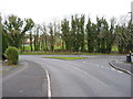
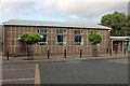
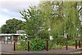
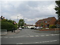
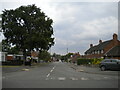
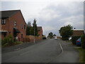
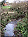

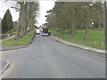
18 photos from this area
Area Information
Key information about the B31 1LS including its size, population, and administrative classification.
- Area Type
- Postcode
- Area Size
- 7418 m²
- Population
- 1796
- Population Density
- 4695 people/km²
House Prices in B31 1LS
17
Properties
£133,286
Average Sold Price
£39,000
Lowest Price
£215,500
Highest Price
Showing 17 properties
| Address | Type | Beds | Baths | Last Sale Price | Last Sale Date | |
|---|---|---|---|---|---|---|
| 107 Bell Holloway, Birmingham, B31 1LS | house | 3 | - | £215,500 | Jan 2025 | |
| 127 Bell Holloway, Birmingham, B31 1LS | house | - | - | £197,000 | Mar 2024 | |
| 129 Bell Holloway, Birmingham, B31 1LS | Semi-detached | 3 | 1 | £200,000 | Feb 2024 | |
| 135 Bell Holloway, Birmingham, B31 1LS | house | 5 | - | £165,000 | Mar 2011 | |
| 125 Bell Holloway, Birmingham, B31 1LS | Semi-detached | - | - | £39,000 | Nov 2001 | |
| 109 Bell Holloway, Birmingham, B31 1LS | Semi-detached | - | - | £63,500 | Dec 2000 | |
| 115 Bell Holloway, Birmingham, B31 1LS | Semi-detached | - | - | £53,000 | Sep 1995 | |
| 137 Bell Holloway, Birmingham, B31 1LS | Bungalow | 2 | 2 | - | - | |
| 105 Bell Holloway, Birmingham, B31 1LS | Flat | 2 | 1 | - | - | |
| 131 Bell Holloway, Birmingham, B31 1LS | Terraced | - | - | - | - |
Page 1 of 2
Energy Efficiency in B31 1LS
Amenities
Schools
| Rank | School | Type | Entry gender | Ages |
|---|
Explore more schools in this area
Go to Schools tabDemographics
Household Size
Family (3-5 people)
most common
Accommodation Type
Houses
most common
Tenure
56
majority
Ethnic Group
White
most common
Religion
N/A
most common
Household Composition
N/A
most common
Age
47
median
Adults (30-64 years)
most common
Household Deprivation
N/A
with no deprivation
NS-SEC
30
in Lower managerial occupations
Explore more demographic insights in this area
Go to Demographics tabPlanning
Planning Constraints
- Flood RiskPremium
- Ramsar Wetland SitesPremium
- Area of Outstanding Natural BeautyPremium
- Protected Nature ReservePremium
- Protected WoodlandPremium