Area Overview for B30 3AB
Photos of B30 3AB
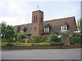
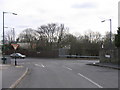
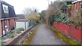

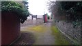
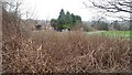
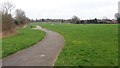
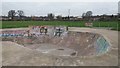
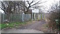
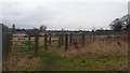
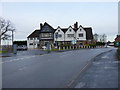
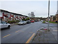
24 photos from this area
Area Information
Key information about the B30 3AB including its size, population, and administrative classification.
- Area Type
- Postcode
- Area Size
- 1.9 hectares
- Population
- 1574
- Population Density
- 4669 people/km²
House Prices in B30 3AB
54
Properties
£154,431
Average Sold Price
£41,000
Lowest Price
£320,000
Highest Price
Showing 54 properties
| Address | Type | Beds | Baths | Last Sale Price | Last Sale Date | |
|---|---|---|---|---|---|---|
| 218 Fordhouse Lane, Birmingham, B30 3AB | Terraced | 3 | 1 | £230,000 | Jun 2024 | |
| 200 Fordhouse Lane, Birmingham, B30 3AB | Semi-detached | 3 | 1 | £290,000 | Jan 2024 | |
| 198 Fordhouse Lane, Birmingham, B30 3AB | house | 4 | 2 | £320,000 | Jul 2023 | |
| 208 Fordhouse Lane, Birmingham, B30 3AB | Terraced | 3 | 1 | £284,000 | Aug 2022 | |
| 220 Fordhouse Lane, Birmingham, B30 3AB | house | - | - | £67,000 | Nov 2021 | |
| 238 Fordhouse Lane, Birmingham, B30 3AB | Terraced | 1 | 1 | £195,000 | Apr 2019 | |
| 274 Fordhouse Lane, Birmingham, B30 3AB | Semi-detached | 4 | 1 | £238,000 | Feb 2019 | |
| 228 Fordhouse Lane, Birmingham, B30 3AB | Terraced | 1 | 1 | £213,500 | Dec 2018 | |
| 184 Fordhouse Lane, Birmingham, B30 3AB | Semi-detached | 3 | 1 | £177,000 | Nov 2018 | |
| 226 Fordhouse Lane, Birmingham, B30 3AB | house | - | - | £210,000 | Mar 2018 |
Page 1 of 6
Energy Efficiency in B30 3AB
Amenities
Schools
| Rank | School | Type | Entry gender | Ages |
|---|
Explore more schools in this area
Go to Schools tabDemographics
Household Size
Family (3-5 people)
most common
Accommodation Type
Houses
most common
Tenure
65
majority
Ethnic Group
White
most common
Religion
N/A
most common
Household Composition
N/A
most common
Age
47
median
Adults (30-64 years)
most common
Household Deprivation
N/A
with no deprivation
NS-SEC
29
in Lower managerial occupations
Explore more demographic insights in this area
Go to Demographics tabPlanning
Planning Constraints
- Flood RiskPremium
- Ramsar Wetland SitesPremium
- Area of Outstanding Natural BeautyPremium
- Protected Nature ReservePremium
- Protected WoodlandPremium