Area Overview for B29 6EJ
Photos of B29 6EJ
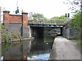
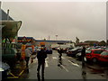
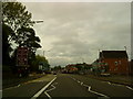
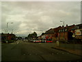
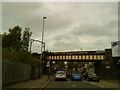
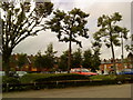
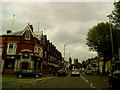
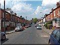
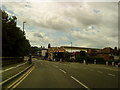
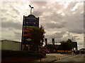
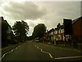
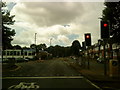
100 photos from this area
Area Information
Key information about the B29 6EJ including its size, population, and administrative classification.
- Area Type
- Postcode
- Area Size
- 1.2 hectares
- Population
- 4344
- Population Density
- 6555 people/km²
House Prices in B29 6EJ
68
Properties
£239,683
Average Sold Price
£38,000
Lowest Price
£515,000
Highest Price
Showing 68 properties
| Address | Type | Beds | Baths | Last Sale Price | Last Sale Date | |
|---|---|---|---|---|---|---|
| 113 Heeley Road, Birmingham, B29 6EJ | Detached | 6 | 6 | £510,000 | Aug 2025 | |
| 87 Heeley Road, Birmingham, B29 6EJ | house | 4 | 1 | £350,000 | Jul 2025 | |
| 121 Heeley Road, Birmingham, B29 6EJ | Terraced | 4 | 1 | £387,000 | Jan 2025 | |
| 189 Heeley Road, Birmingham, B29 6EJ | Terraced | 6 | 3 | £500,000 | Aug 2023 | |
| 159A Heeley Road, Birmingham, B29 6EJ | Terraced | 5 | 3 | £425,000 | Jan 2023 | |
| 159 Heeley Road, Birmingham, B29 6EJ | house | - | - | £425,000 | Jan 2023 | |
| 155 Heeley Road, Birmingham, B29 6EJ | house | 20 | 8 | £425,000 | Dec 2022 | |
| 157 Heeley Road, Birmingham, B29 6EJ | house | 5 | 2 | £425,000 | Dec 2022 | |
| 145 Heeley Road, Birmingham, B29 6EJ | Detached | 7 | 3 | £500,000 | Dec 2022 | |
| 133 Heeley Road, Birmingham, B29 6EJ | Terraced | 4 | 2 | £340,000 | Sep 2022 |
Page 1 of 7
Energy Efficiency in B29 6EJ
Amenities
Schools
| Rank | School | Type | Entry gender | Ages |
|---|
Explore more schools in this area
Go to Schools tabDemographics
Household Size
Family (3-5 people)
most common
Accommodation Type
Houses
most common
Tenure
35
majority
Ethnic Group
White
most common
Religion
N/A
most common
Household Composition
N/A
most common
Age
22
median
Young Adults (15-29 years)
most common
Household Deprivation
N/A
with no deprivation
NS-SEC
11
in Lower managerial occupations
Explore more demographic insights in this area
Go to Demographics tabPlanning
Planning Constraints
- Flood RiskPremium
- Ramsar Wetland SitesPremium
- Area of Outstanding Natural BeautyPremium
- Protected Nature ReservePremium
- Protected WoodlandPremium