Area Overview for B29 4NW
Photos of B29 4NW
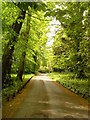
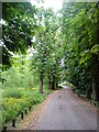
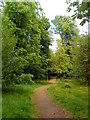
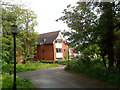
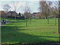
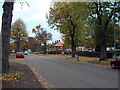
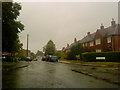
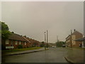
47 photos from this area
Area Information
Key information about the B29 4NW including its size, population, and administrative classification.
- Area Type
- Postcode
- Area Size
- 5556 m²
- Population
- 1492
- Population Density
- 3952 people/km²
House Prices in B29 4NW
17
Properties
£190,923
Average Sold Price
£85,000
Lowest Price
£285,000
Highest Price
Showing 17 properties
| Address | Type | Beds | Baths | Last Sale Price | Last Sale Date | |
|---|---|---|---|---|---|---|
| 151 Swarthmore Road, Birmingham, B29 4NW | Terraced | 4 | 1 | £235,000 | Jan 2025 | |
| 163 Swarthmore Road, Birmingham, B29 4NW | Retail | 3 | 1 | £285,000 | Jul 2022 | |
| 153 Swarthmore Road, Birmingham, B29 4NW | Terraced | 3 | - | £188,000 | Aug 2019 | |
| 188 Swarthmore Road, Birmingham, B29 4NW | Semi-detached | 4 | 1 | £275,000 | Oct 2018 | |
| 173 Swarthmore Road, Birmingham, B29 4NW | Terraced | 3 | - | £245,000 | Aug 2018 | |
| 169 Swarthmore Road, Birmingham, B29 4NW | Terraced | 3 | 1 | £163,500 | Jul 2015 | |
| 159 Swarthmore Road, Birmingham, B29 4NW | Terraced | 3 | - | £176,000 | May 2015 | |
| 194 Swarthmore Road, Birmingham, B29 4NW | Detached | - | - | £85,000 | Mar 2014 | |
| 190 Swarthmore Road, Birmingham, B29 4NW | Semi-detached | 4 | 1 | £168,000 | Nov 2013 | |
| 161 Swarthmore Road, Birmingham, B29 4NW | Terraced | 3 | 1 | £141,000 | Feb 2010 |
Page 1 of 2
Energy Efficiency in B29 4NW
Amenities
Schools
| Rank | School | Type | Entry gender | Ages |
|---|
Explore more schools in this area
Go to Schools tabDemographics
Household Size
Family (3-5 people)
most common
Accommodation Type
Houses
most common
Tenure
80
majority
Ethnic Group
White
most common
Religion
N/A
most common
Household Composition
N/A
most common
Age
47
median
Adults (30-64 years)
most common
Household Deprivation
N/A
with no deprivation
NS-SEC
42
in Lower managerial occupations
Explore more demographic insights in this area
Go to Demographics tabPlanning
Planning Constraints
- Flood RiskPremium
- Ramsar Wetland SitesPremium
- Area of Outstanding Natural BeautyPremium
- Protected Nature ReservePremium
- Protected WoodlandPremium