Area Overview for B28 9QZ
Photos of B28 9QZ
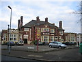
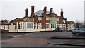
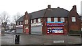
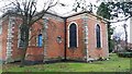
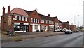
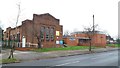
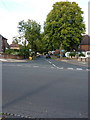
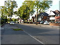
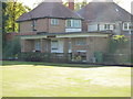
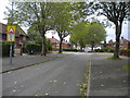
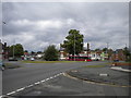
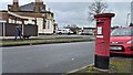
21 photos from this area
Area Information
Key information about the B28 9QZ including its size, population, and administrative classification.
- Area Type
- Postcode
- Area Size
- 1.2 hectares
- Population
- 1888
- Population Density
- 6065 people/km²
House Prices in B28 9QZ
36
Properties
£186,344
Average Sold Price
£61,500
Lowest Price
£284,000
Highest Price
Showing 36 properties
| Address | Type | Beds | Baths | Last Sale Price | Last Sale Date | |
|---|---|---|---|---|---|---|
| 70 Bushmore Road, Birmingham, B28 9QZ | Semi-detached | 3 | 2 | £284,000 | Sep 2024 | |
| 76 Bushmore Road, Birmingham, B28 9QZ | house | 3 | 1 | £200,000 | Mar 2020 | |
| 106 Bushmore Road, Birmingham, B28 9QZ | house | 3 | 1 | £257,000 | Jun 2019 | |
| 92 Bushmore Road, Birmingham, B28 9QZ | Semi-detached | 3 | 2 | £257,000 | Mar 2019 | |
| 122 Bushmore Road, Birmingham, B28 9QZ | Semi-detached | 4 | 1 | £263,000 | Aug 2018 | |
| 90 Bushmore Road, Birmingham, B28 9QZ | Semi-detached | 3 | 1 | £260,000 | Apr 2018 | |
| 86 Bushmore Road, Birmingham, B28 9QZ | house | - | - | £235,000 | Feb 2018 | |
| 136 Bushmore Road, Birmingham, B28 9QZ | Semi-detached | 3 | 1 | £238,000 | Sep 2017 | |
| 104 Bushmore Road, Birmingham, B28 9QZ | Semi-detached | 3 | 1 | £238,500 | Aug 2017 | |
| 134 Bushmore Road, Birmingham, B28 9QZ | house | - | - | £220,000 | Aug 2016 |
Page 1 of 4
Energy Efficiency in B28 9QZ
Amenities
Schools
| Rank | School | Type | Entry gender | Ages |
|---|
Explore more schools in this area
Go to Schools tabDemographics
Household Size
Family (3-5 people)
most common
Accommodation Type
Houses
most common
Tenure
70
majority
Ethnic Group
asian_total
most common
Religion
N/A
most common
Household Composition
N/A
most common
Age
47
median
Adults (30-64 years)
most common
Household Deprivation
N/A
with no deprivation
NS-SEC
27
in Lower managerial occupations
Explore more demographic insights in this area
Go to Demographics tabPlanning
Planning Constraints
- Flood RiskPremium
- Ramsar Wetland SitesPremium
- Area of Outstanding Natural BeautyPremium
- Protected Nature ReservePremium
- Protected WoodlandPremium