Area Overview for B28 9QD
Photos of B28 9QD
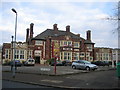
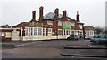
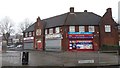
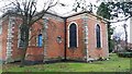
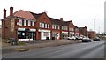
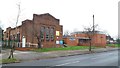
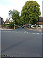
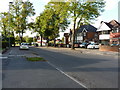
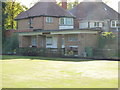
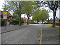
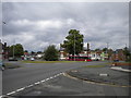
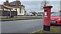
21 photos from this area
Area Information
Key information about the B28 9QD including its size, population, and administrative classification.
- Area Type
- Postcode
- Area Size
- 1.2 hectares
- Population
- 1888
- Population Density
- 6065 people/km²
House Prices in B28 9QD
43
Properties
£135,676
Average Sold Price
£35,000
Lowest Price
£233,000
Highest Price
Showing 43 properties
| Address | Type | Beds | Baths | Last Sale Price | Last Sale Date | |
|---|---|---|---|---|---|---|
| 116 Hazelville Road, Birmingham, B28 9QD | Terraced | 3 | 2 | £233,000 | Jul 2024 | |
| 73 Hazelville Road, Birmingham, B28 9QD | Terraced | 3 | 1 | £200,000 | Jan 2024 | |
| 84 Hazelville Road, Birmingham, B28 9QD | Terraced | 3 | 1 | £205,000 | Aug 2023 | |
| 114 Hazelville Road, Birmingham, B28 9QD | Terraced | 3 | 1 | £227,000 | Jan 2023 | |
| 112 Hazelville Road, Birmingham, B28 9QD | house | - | - | £182,000 | Jun 2021 | |
| 97 Hazelville Road, Birmingham, B28 9QD | house | - | - | £162,500 | Jan 2021 | |
| 98 Hazelville Road, Birmingham, B28 9QD | house | 3 | 1 | £160,000 | Feb 2020 | |
| 95 Hazelville Road, Birmingham, B28 9QD | Semi-detached | 3 | 1 | £170,000 | Sep 2019 | |
| 69 Hazelville Road, Birmingham, B28 9QD | Terraced | 3 | 1 | £160,000 | Jun 2019 | |
| 75 Hazelville Road, Birmingham, B28 9QD | Terraced | 2 | 2 | £185,000 | Feb 2019 |
Page 1 of 5
Energy Efficiency in B28 9QD
Amenities
Schools
| Rank | School | Type | Entry gender | Ages |
|---|
Explore more schools in this area
Go to Schools tabDemographics
Household Size
Family (3-5 people)
most common
Accommodation Type
Houses
most common
Tenure
70
majority
Ethnic Group
asian_total
most common
Religion
N/A
most common
Household Composition
N/A
most common
Age
47
median
Adults (30-64 years)
most common
Household Deprivation
N/A
with no deprivation
NS-SEC
27
in Lower managerial occupations
Explore more demographic insights in this area
Go to Demographics tabPlanning
Planning Constraints
- Flood RiskPremium
- Ramsar Wetland SitesPremium
- Area of Outstanding Natural BeautyPremium
- Protected Nature ReservePremium
- Protected WoodlandPremium