Area Overview for B28 0QR
Photos of B28 0QR
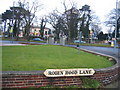
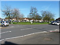
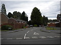
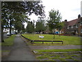

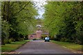
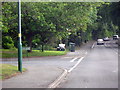
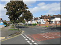
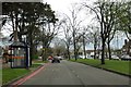
19 photos from this area
Area Information
Key information about the B28 0QR including its size, population, and administrative classification.
- Area Type
- Postcode
- Area Size
- 1.1 hectares
- Population
- 1529
- Population Density
- 6331 people/km²
House Prices in B28 0QR
31
Properties
£229,402
Average Sold Price
£39,750
Lowest Price
£405,000
Highest Price
Showing 31 properties
| Address | Type | Beds | Baths | Last Sale Price | Last Sale Date | |
|---|---|---|---|---|---|---|
| 58 Stonor Road, Birmingham, B28 0QR | Semi-detached | 3 | 1 | £310,000 | May 2025 | |
| 32 Stonor Road, Birmingham, B28 0QR | house | - | - | £375,000 | Feb 2025 | |
| 48 Stonor Road, Birmingham, B28 0QR | house | - | - | £373,000 | Jan 2025 | |
| 28 Stonor Road, Birmingham, B28 0QR | house | 3 | 2 | £405,000 | Mar 2024 | |
| 44 Stonor Road, Birmingham, B28 0QR | Semi-detached | 3 | 1 | £302,500 | Jun 2022 | |
| 72 Stonor Road, Birmingham, B28 0QR | Semi-detached | 3 | - | £287,500 | Aug 2021 | |
| 56 Stonor Road, Birmingham, B28 0QR | Detached | 3 | 2 | £261,000 | Oct 2020 | |
| 40 Stonor Road, Birmingham, B28 0QR | Semi-detached | 3 | 1 | £280,000 | May 2020 | |
| 46 Stonor Road, Birmingham, B28 0QR | Semi-detached | 3 | 1 | £275,000 | Feb 2019 | |
| 34 Stonor Road, Birmingham, B28 0QR | house | - | - | £298,000 | Jun 2018 |
Page 1 of 4
Energy Efficiency in B28 0QR
Amenities
Schools
| Rank | School | Type | Entry gender | Ages |
|---|
Explore more schools in this area
Go to Schools tabDemographics
Household Size
One person
most common
Accommodation Type
Houses
most common
Tenure
77
majority
Ethnic Group
White
most common
Religion
N/A
most common
Household Composition
N/A
most common
Age
47
median
Adults (30-64 years)
most common
Household Deprivation
N/A
with no deprivation
NS-SEC
28
in Lower managerial occupations
Explore more demographic insights in this area
Go to Demographics tabPlanning
Planning Constraints
- Flood RiskPremium
- Ramsar Wetland SitesPremium
- Area of Outstanding Natural BeautyPremium
- Protected Nature ReservePremium
- Protected WoodlandPremium