Area Overview for B28 0QG
Photos of B28 0QG
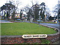
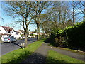
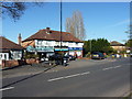
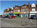
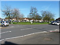
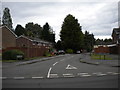
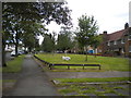

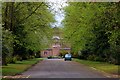
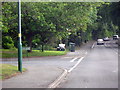
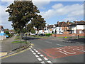
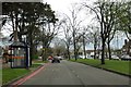
19 photos from this area
Area Information
Key information about the B28 0QG including its size, population, and administrative classification.
- Area Type
- Postcode
- Area Size
- 4300 m²
- Population
- 1529
- Population Density
- 6331 people/km²
House Prices in B28 0QG
12
Properties
£188,613
Average Sold Price
£67,500
Lowest Price
£296,000
Highest Price
Showing 12 properties
| Address | Type | Beds | Baths | Last Sale Price | Last Sale Date | |
|---|---|---|---|---|---|---|
| 25 Stonor Road, Birmingham, B28 0QG | Semi-detached | 3 | 1 | £296,000 | Mar 2024 | |
| 29 Stonor Road, Birmingham, B28 0QG | house | - | - | £272,500 | Jan 2021 | |
| 27 Stonor Road, Birmingham, B28 0QG | Semi-detached | 3 | 1 | £249,950 | Mar 2018 | |
| 23 Stonor Road, Birmingham, B28 0QG | Semi-detached | 3 | 1 | £244,950 | Nov 2017 | |
| 15 Stonor Road, Birmingham, B28 0QG | house | - | - | £219,000 | Aug 2016 | |
| 5 Stonor Road, Birmingham, B28 0QG | Semi-detached | - | - | £67,500 | Jul 2001 | |
| 21 Stonor Road, Birmingham, B28 0QG | Terraced | - | - | £91,000 | Jan 2001 | |
| 19 Stonor Road, Birmingham, B28 0QG | Terraced | - | - | £68,000 | Oct 1996 | |
| 17 Stonor Road, Birmingham, B28 0QG | house | 3 | 1 | - | - | |
| 9 Stonor Road, Birmingham, B28 0QG | Terraced | - | - | - | - |
Page 1 of 2
Energy Efficiency in B28 0QG
Amenities
Schools
| Rank | School | Type | Entry gender | Ages |
|---|
Explore more schools in this area
Go to Schools tabDemographics
Household Size
One person
most common
Accommodation Type
Houses
most common
Tenure
77
majority
Ethnic Group
White
most common
Religion
N/A
most common
Household Composition
N/A
most common
Age
47
median
Adults (30-64 years)
most common
Household Deprivation
N/A
with no deprivation
NS-SEC
28
in Lower managerial occupations
Explore more demographic insights in this area
Go to Demographics tabPlanning
Planning Constraints
- Flood RiskPremium
- Ramsar Wetland SitesPremium
- Area of Outstanding Natural BeautyPremium
- Protected Nature ReservePremium
- Protected WoodlandPremium