Area Overview for B28 0NL
Photos of B28 0NL
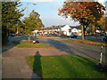

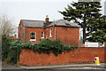
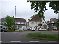
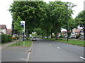
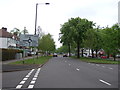
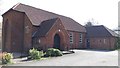
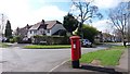
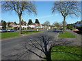
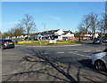
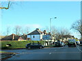
21 photos from this area
Area Information
Key information about the B28 0NL including its size, population, and administrative classification.
- Area Type
- Postcode
- Area Size
- 1.1 hectares
- Population
- 1790
- Population Density
- 6493 people/km²
House Prices in B28 0NL
29
Properties
£168,163
Average Sold Price
£59,000
Lowest Price
£262,000
Highest Price
Showing 29 properties
| Address | Type | Beds | Baths | Last Sale Price | Last Sale Date | |
|---|---|---|---|---|---|---|
| 50 Fallowfield Avenue, Birmingham, B28 0NL | Semi-detached | 3 | 1 | £237,000 | Mar 2019 | |
| 22 Fallowfield Avenue, Birmingham, B28 0NL | Semi-detached | 3 | 1 | £262,000 | May 2017 | |
| 20 Fallowfield Avenue, Birmingham, B28 0NL | house | - | - | £236,000 | Dec 2016 | |
| 16 Fallowfield Avenue, Birmingham, B28 0NL | house | - | - | £191,250 | Oct 2016 | |
| 58 Fallowfield Avenue, Birmingham, B28 0NL | Semi-detached | 3 | 1 | £174,000 | Nov 2015 | |
| 36 Fallowfield Avenue, Birmingham, B28 0NL | house | - | - | £195,000 | Feb 2014 | |
| 4 Fallowfield Avenue, Birmingham, B28 0NL | house | - | - | £228,000 | Nov 2009 | |
| 46 Fallowfield Avenue, Birmingham, B28 0NL | Terraced | - | - | £225,000 | Jun 2006 | |
| 42 Fallowfield Avenue, Birmingham, B28 0NL | Semi-detached | 4 | 2 | £172,000 | Dec 2005 | |
| 40 Fallowfield Avenue, Birmingham, B28 0NL | Semi-detached | 3 | 1 | £171,000 | Dec 2005 |
Page 1 of 3
Energy Efficiency in B28 0NL
Amenities
Schools
| Rank | School | Type | Entry gender | Ages |
|---|
Explore more schools in this area
Go to Schools tabDemographics
Household Size
Family (3-5 people)
most common
Accommodation Type
Houses
most common
Tenure
85
majority
Ethnic Group
White
most common
Religion
N/A
most common
Household Composition
N/A
most common
Age
47
median
Adults (30-64 years)
most common
Household Deprivation
N/A
with no deprivation
NS-SEC
37
in Lower managerial occupations
Explore more demographic insights in this area
Go to Demographics tabPlanning
Planning Constraints
- Flood RiskPremium
- Ramsar Wetland SitesPremium
- Area of Outstanding Natural BeautyPremium
- Protected Nature ReservePremium
- Protected WoodlandPremium