Area Overview for B28 0DE
Photos of B28 0DE
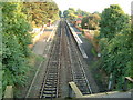
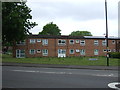
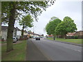
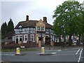
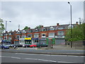
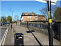
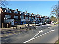
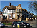
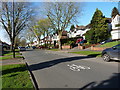
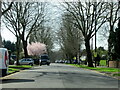
35 photos from this area
Area Information
Key information about the B28 0DE including its size, population, and administrative classification.
- Area Type
- Postcode
- Area Size
- 2.5 hectares
- Population
- 1909
- Population Density
- 3869 people/km²
House Prices in B28 0DE
33
Properties
£194,793
Average Sold Price
£55,500
Lowest Price
£345,000
Highest Price
Showing 33 properties
| Address | Type | Beds | Baths | Last Sale Price | Last Sale Date | |
|---|---|---|---|---|---|---|
| 99 Cole Valley Road, Birmingham, B28 0DE | house | - | - | £310,000 | Mar 2025 | |
| 59 Cole Valley Road, Birmingham, B28 0DE | Detached | 4 | 2 | £345,000 | Apr 2024 | |
| 111 Cole Valley Road, Birmingham, B28 0DE | Semi-detached | 3 | 1 | £285,000 | Feb 2024 | |
| 55 Cole Valley Road, Birmingham, B28 0DE | Semi-detached | 3 | 1 | £260,000 | Dec 2021 | |
| 123 Cole Valley Road, Birmingham, B28 0DE | house | 3 | 1 | £252,500 | May 2019 | |
| 101 Cole Valley Road, Birmingham, B28 0DE | Semi-detached | 3 | - | £232,000 | Aug 2018 | |
| 81 Cole Valley Road, Birmingham, B28 0DE | house | - | - | £236,000 | Oct 2017 | |
| 63 Cole Valley Road, Birmingham, B28 0DE | Semi-detached | 3 | 1 | £255,000 | Sep 2015 | |
| 121 Cole Valley Road, Birmingham, B28 0DE | house | 3 | - | £208,000 | Oct 2014 | |
| 103 Cole Valley Road, Birmingham, B28 0DE | Semi-detached | - | - | £160,000 | Mar 2013 |
Page 1 of 4
Energy Efficiency in B28 0DE
Amenities
Schools
| Rank | School | Type | Entry gender | Ages |
|---|
Explore more schools in this area
Go to Schools tabDemographics
Household Size
One person
most common
Accommodation Type
Houses
most common
Tenure
71
majority
Ethnic Group
White
most common
Religion
N/A
most common
Household Composition
N/A
most common
Age
47
median
Adults (30-64 years)
most common
Household Deprivation
N/A
with no deprivation
NS-SEC
35
in Lower managerial occupations
Explore more demographic insights in this area
Go to Demographics tabPlanning
Planning Constraints
- Flood RiskPremium
- Ramsar Wetland SitesPremium
- Area of Outstanding Natural BeautyPremium
- Protected Nature ReservePremium
- Protected WoodlandPremium