Area Overview for B27 7TR
Photos of B27 7TR
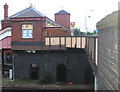
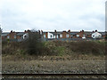
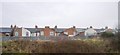
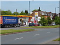
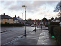
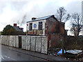
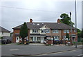
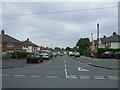
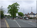
52 photos from this area
Area Information
Key information about the B27 7TR including its size, population, and administrative classification.
- Area Type
- Postcode
- Area Size
- 9044 m²
- Population
- 1567
- Population Density
- 6430 people/km²
House Prices in B27 7TR
30
Properties
£142,676
Average Sold Price
£45,500
Lowest Price
£240,000
Highest Price
Showing 30 properties
| Address | Type | Beds | Baths | Last Sale Price | Last Sale Date | |
|---|---|---|---|---|---|---|
| 13 Ninfield Road, Birmingham, B27 7TR | Terraced | 3 | 1 | £235,000 | Jul 2025 | |
| 15 Ninfield Road, Birmingham, B27 7TR | Terraced | 3 | 1 | £231,000 | Jul 2024 | |
| 41 Ninfield Road, Birmingham, B27 7TR | house | 3 | 1 | £210,000 | Mar 2024 | |
| 45 Ninfield Road, Birmingham, B27 7TR | house | - | - | £240,000 | Feb 2023 | |
| 17 Ninfield Road, Birmingham, B27 7TR | house | - | - | £180,000 | Apr 2022 | |
| 29 Ninfield Road, Birmingham, B27 7TR | Terraced | 3 | 1 | £200,000 | Dec 2017 | |
| 25 Ninfield Road, Birmingham, B27 7TR | Terraced | 3 | 1 | £150,000 | May 2017 | |
| 27 Ninfield Road, Birmingham, B27 7TR | Terraced | 3 | - | £127,500 | Dec 2016 | |
| 33 Ninfield Road, Birmingham, B27 7TR | house | 3 | 1 | £128,000 | Oct 2013 | |
| 31 Ninfield Road, Birmingham, B27 7TR | Semi-detached | - | - | £157,000 | Sep 2011 |
Page 1 of 3
Energy Efficiency in B27 7TR
Amenities
Schools
| Rank | School | Type | Entry gender | Ages |
|---|
Explore more schools in this area
Go to Schools tabDemographics
Household Size
Family (3-5 people)
most common
Accommodation Type
Houses
most common
Tenure
60
majority
Ethnic Group
asian_total
most common
Religion
N/A
most common
Household Composition
N/A
most common
Age
47
median
Adults (30-64 years)
most common
Household Deprivation
N/A
with no deprivation
NS-SEC
17
in Lower managerial occupations
Explore more demographic insights in this area
Go to Demographics tabPlanning
Planning Constraints
- Flood RiskPremium
- Ramsar Wetland SitesPremium
- Area of Outstanding Natural BeautyPremium
- Protected Nature ReservePremium
- Protected WoodlandPremium