Area Overview for B27 7EG
Photos of B27 7EG
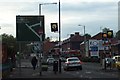
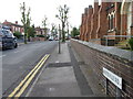
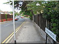

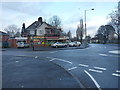
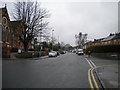
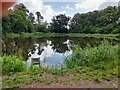
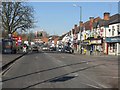
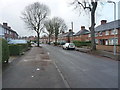
17 photos from this area
Area Information
Key information about the B27 7EG including its size, population, and administrative classification.
- Area Type
- Postcode
- Area Size
- 2.4 hectares
- Population
- 1757
- Population Density
- 7222 people/km²
House Prices in B27 7EG
34
Properties
£143,770
Average Sold Price
£55,000
Lowest Price
£200,000
Highest Price
Showing 34 properties
| Address | Type | Beds | Baths | Last Sale Price | Last Sale Date | |
|---|---|---|---|---|---|---|
| 43 Pollard Road, Birmingham, B27 7EG | house | - | - | £200,000 | Sep 2022 | |
| 61 Pollard Road, Birmingham, B27 7EG | house | 2 | 1 | £178,500 | Sep 2022 | |
| 53 Pollard Road, Birmingham, B27 7EG | Terraced | 3 | 1 | £172,500 | Dec 2020 | |
| 57 Pollard Road, Birmingham, B27 7EG | Semi-detached | 2 | 1 | £160,200 | Mar 2020 | |
| 59 Pollard Road, Birmingham, B27 7EG | Semi-detached | 3 | 1 | £165,000 | Aug 2019 | |
| 55 Pollard Road, Birmingham, B27 7EG | Terraced | 3 | 1 | £178,500 | Dec 2018 | |
| 37 Pollard Road, Birmingham, B27 7EG | house | - | - | £116,000 | Oct 2016 | |
| 41 Pollard Road, Birmingham, B27 7EG | Detached | 2 | 1 | £105,000 | Aug 2012 | |
| 51 Pollard Road, Birmingham, B27 7EG | house | - | - | £107,000 | Jun 2010 | |
| 39 Pollard Road, Birmingham, B27 7EG | house | - | - | £55,000 | Dec 2000 |
Page 1 of 4
Energy Efficiency in B27 7EG
Amenities
Schools
| Rank | School | Type | Entry gender | Ages |
|---|
Explore more schools in this area
Go to Schools tabDemographics
Household Size
Family (3-5 people)
most common
Accommodation Type
Houses
most common
Tenure
40
majority
Ethnic Group
White
most common
Religion
N/A
most common
Household Composition
N/A
most common
Age
22
median
Adults (30-64 years)
most common
Household Deprivation
N/A
with no deprivation
NS-SEC
19
in Lower managerial occupations
Explore more demographic insights in this area
Go to Demographics tabPlanning
Planning Constraints
- Flood RiskPremium
- Ramsar Wetland SitesPremium
- Area of Outstanding Natural BeautyPremium
- Protected Nature ReservePremium
- Protected WoodlandPremium