Area Overview for B27 7AS
Photos of B27 7AS
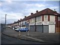
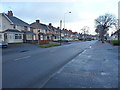
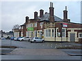
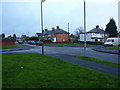
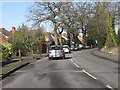
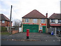
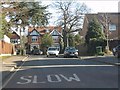
17 photos from this area
Area Information
Key information about the B27 7AS including its size, population, and administrative classification.
- Area Type
- Postcode
- Area Size
- 1.3 hectares
- Population
- 1607
- Population Density
- 8953 people/km²
House Prices in B27 7AS
44
Properties
£118,200
Average Sold Price
£38,500
Lowest Price
£250,000
Highest Price
Showing 44 properties
| Address | Type | Beds | Baths | Last Sale Price | Last Sale Date | |
|---|---|---|---|---|---|---|
| 391 Gospel Lane, Birmingham, B27 7AS | house | - | - | £250,000 | Jun 2025 | |
| 385 Gospel Lane, Birmingham, B27 7AS | house | 1 | 2 | £190,000 | Jan 2022 | |
| 465 Gospel Lane, Birmingham, B27 7AS | Semi-detached | 3 | - | £211,000 | Sep 2019 | |
| 443 Gospel Lane, Birmingham, B27 7AS | Flat | - | - | £56,500 | Oct 2015 | |
| 415 Gospel Lane, Birmingham, B27 7AS | Semi-detached | 3 | 1 | £100,000 | Aug 2013 | |
| 387 Gospel Lane, Birmingham, B27 7AS | house | - | - | £88,500 | Jan 2013 | |
| 469 Gospel Lane, Birmingham, B27 7AS | Semi-detached | 3 | 1 | £112,000 | Jul 2011 | |
| 411 Gospel Lane, Birmingham, B27 7AS | Terraced | 3 | - | £110,000 | Dec 2009 | |
| 433 Gospel Lane, Birmingham, B27 7AS | house | - | - | £127,000 | May 2009 | |
| 425 Gospel Lane, Birmingham, B27 7AS | Detached | 2 | - | £125,000 | Jul 2008 |
Page 1 of 5
Energy Efficiency in B27 7AS
Amenities
Schools
| Rank | School | Type | Entry gender | Ages |
|---|
Explore more schools in this area
Go to Schools tabDemographics
Household Size
Family (3-5 people)
most common
Accommodation Type
Houses
most common
Tenure
50
majority
Ethnic Group
White
most common
Religion
N/A
most common
Household Composition
N/A
most common
Age
47
median
Adults (30-64 years)
most common
Household Deprivation
N/A
with no deprivation
NS-SEC
15
in Lower managerial occupations
Explore more demographic insights in this area
Go to Demographics tabPlanning
Planning Constraints
- Flood RiskPremium
- Ramsar Wetland SitesPremium
- Area of Outstanding Natural BeautyPremium
- Protected Nature ReservePremium
- Protected WoodlandPremium