Area Overview for B27 6HN
Photos of B27 6HN
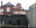
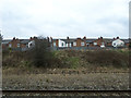

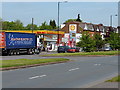
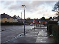
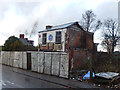
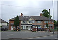
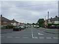
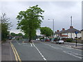


52 photos from this area
Area Information
Key information about the B27 6HN including its size, population, and administrative classification.
- Area Type
- Postcode
- Area Size
- 7599 m²
- Population
- 1484
- Population Density
- 10399 people/km²
House Prices in B27 6HN
45
Properties
£155,831
Average Sold Price
£42,000
Lowest Price
£300,000
Highest Price
Showing 45 properties
| Address | Type | Beds | Baths | Last Sale Price | Last Sale Date | |
|---|---|---|---|---|---|---|
| 172 Douglas Road, Acocks Green Olton, Birmingham, B27 6HN | Terraced | - | - | £111,000 | May 2025 | |
| 176 Douglas Road, Acocks Green Olton, Birmingham, B27 6HN | Terraced | 3 | 2 | £245,000 | Mar 2024 | |
| 204 Douglas Road, Acocks Green Olton, Birmingham, B27 6HN | Detached | 3 | 2 | £235,000 | Jun 2023 | |
| 166 Douglas Road, Acocks Green Olton, Birmingham, B27 6HN | house | - | - | £237,500 | Feb 2022 | |
| 188 Douglas Road, Acocks Green Olton, Birmingham, B27 6HN | house | - | - | £206,000 | Nov 2021 | |
| 208 Douglas Road, Acocks Green Olton, Birmingham, B27 6HN | house | - | - | £300,000 | Nov 2021 | |
| 206 Douglas Road, Acocks Green Olton, Birmingham, B27 6HN | house | 3 | 1 | £195,000 | Apr 2021 | |
| 222 DOUGLAS ROAD, Acocks Green Olton, Birmingham, B27 6HN | Terraced | 3 | 2 | £182,500 | Feb 2021 | |
| 192 Douglas Road, Acocks Green Olton, Birmingham, B27 6HN | house | - | - | £166,000 | Oct 2020 | |
| 170 Douglas Road, Acocks Green Olton, Birmingham, B27 6HN | Terraced | - | - | £161,000 | Nov 2019 |
Page 1 of 5
Energy Efficiency in B27 6HN
Amenities
Schools
| Rank | School | Type | Entry gender | Ages |
|---|
Explore more schools in this area
Go to Schools tabDemographics
Household Size
Family (3-5 people)
most common
Accommodation Type
Houses
most common
Tenure
44
majority
Ethnic Group
White
most common
Religion
N/A
most common
Household Composition
N/A
most common
Age
47
median
Adults (30-64 years)
most common
Household Deprivation
N/A
with no deprivation
NS-SEC
17
in Lower managerial occupations
Explore more demographic insights in this area
Go to Demographics tabPlanning
Planning Constraints
- Flood RiskPremium
- Ramsar Wetland SitesPremium
- Area of Outstanding Natural BeautyPremium
- Protected Nature ReservePremium
- Protected WoodlandPremium