Area Overview for B27 6EU
Photos of B27 6EU
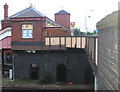
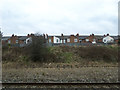
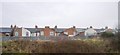
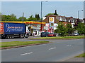
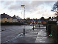
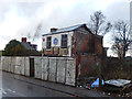
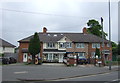
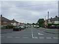
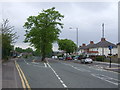
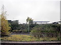
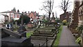
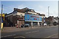
52 photos from this area
Area Information
Key information about the B27 6EU including its size, population, and administrative classification.
- Area Type
- Postcode
- Area Size
- 1.3 hectares
- Population
- 1789
- Population Density
- 2149 people/km²
House Prices in B27 6EU
22
Properties
£114,039
Average Sold Price
£43,500
Lowest Price
£235,000
Highest Price
Showing 22 properties
| Address | Type | Beds | Baths | Last Sale Price | Last Sale Date | |
|---|---|---|---|---|---|---|
| 247 Alexander Road, Birmingham, B27 6EU | Terraced | 3 | 3 | £221,000 | Aug 2023 | |
| 239 Alexander Road, Birmingham, B27 6EU | Terraced | 3 | 1 | £235,000 | May 2021 | |
| 217 Alexander Road, Birmingham, B27 6EU | Terraced | 3 | 1 | £169,000 | Nov 2015 | |
| 205 Alexander Road, Birmingham, B27 6EU | house | - | - | £143,000 | Sep 2010 | |
| 235 Alexander Road, Birmingham, B27 6EU | house | - | - | £150,000 | Apr 2007 | |
| 215 Alexander Road, Birmingham, B27 6EU | house | - | - | £120,000 | Dec 2006 | |
| 241 Alexander Road, Birmingham, B27 6EU | Terraced | 4 | 2 | £110,000 | Nov 2004 | |
| 199 Alexander Road, Birmingham, B27 6EU | Terraced | - | - | £120,950 | Oct 2003 | |
| 207 Alexander Road, Birmingham, B27 6EU | Terraced | - | - | £60,000 | Feb 2001 | |
| 219 Alexander Road, Birmingham, B27 6EU | Terraced | - | - | £59,800 | Jan 2001 |
Page 1 of 3
Energy Efficiency in B27 6EU
Amenities
Schools
| Rank | School | Type | Entry gender | Ages |
|---|
Explore more schools in this area
Go to Schools tabDemographics
Household Size
One person
most common
Accommodation Type
Houses
most common
Tenure
50
majority
Ethnic Group
White
most common
Religion
N/A
most common
Household Composition
N/A
most common
Age
47
median
Adults (30-64 years)
most common
Household Deprivation
N/A
with no deprivation
NS-SEC
21
in Lower managerial occupations
Explore more demographic insights in this area
Go to Demographics tabPlanning
Planning Constraints
- Flood RiskPremium
- Ramsar Wetland SitesPremium
- Area of Outstanding Natural BeautyPremium
- Protected Nature ReservePremium
- Protected WoodlandPremium