Area Overview for B26 3SR
Photos of B26 3SR
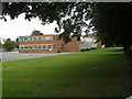
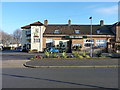
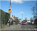
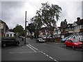
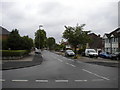
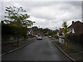
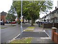
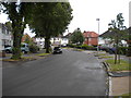
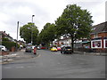
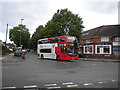
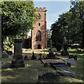
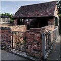
66 photos from this area
Area Information
Key information about the B26 3SR including its size, population, and administrative classification.
- Area Type
- Postcode
- Area Size
- 8796 m²
- Population
- 1537
- Population Density
- 2158 people/km²
House Prices in B26 3SR
26
Properties
£120,306
Average Sold Price
£41,000
Lowest Price
£210,000
Highest Price
Showing 26 properties
| Address | Type | Beds | Baths | Last Sale Price | Last Sale Date | |
|---|---|---|---|---|---|---|
| 237 Cranes Park Road, Birmingham, B26 3SR | Semi-detached | 2 | 1 | £210,000 | Mar 2025 | |
| 233 Cranes Park Road, Birmingham, B26 3SR | Semi-detached | 2 | 1 | £200,000 | Jul 2023 | |
| 211 Cranes Park Road, Birmingham, B26 3SR | Semi-detached | 2 | 1 | £206,000 | Dec 2021 | |
| 253 Cranes Park Road, Birmingham, B26 3SR | Semi-detached | 2 | - | £125,000 | Jul 2014 | |
| 247 Cranes Park Road, Birmingham, B26 3SR | house | 2 | - | £105,000 | Sep 2011 | |
| 231 Cranes Park Road, Birmingham, B26 3SR | house | 2 | - | £108,000 | Mar 2010 | |
| 221 Cranes Park Road, Birmingham, B26 3SR | Semi-detached | - | - | £122,000 | May 2008 | |
| 223 Cranes Park Road, Birmingham, B26 3SR | Semi-detached | - | - | £133,000 | Jul 2006 | |
| 239 Cranes Park Road, Birmingham, B26 3SR | Terraced | - | - | £123,000 | Jun 2006 | |
| 209 Cranes Park Road, Birmingham, B26 3SR | Semi-detached | - | - | £154,950 | Jul 2004 |
Page 1 of 3
Energy Efficiency in B26 3SR
Amenities
Schools
| Rank | School | Type | Entry gender | Ages |
|---|
Explore more schools in this area
Go to Schools tabDemographics
Household Size
Two person
most common
Accommodation Type
Houses
most common
Tenure
87
majority
Ethnic Group
White
most common
Religion
N/A
most common
Household Composition
N/A
most common
Age
47
median
Adults (30-64 years)
most common
Household Deprivation
N/A
with no deprivation
NS-SEC
29
in Lower managerial occupations
Explore more demographic insights in this area
Go to Demographics tabPlanning
Planning Constraints
- Flood RiskPremium
- Ramsar Wetland SitesPremium
- Area of Outstanding Natural BeautyPremium
- Protected Nature ReservePremium
- Protected WoodlandPremium