Area Overview for B26 3RL
Photos of B26 3RL
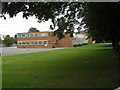
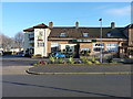
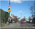
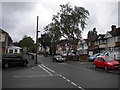
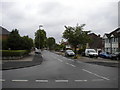
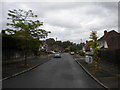
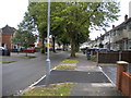
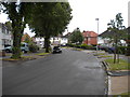
66 photos from this area
Area Information
Key information about the B26 3RL including its size, population, and administrative classification.
- Area Type
- Postcode
- Area Size
- 1.9 hectares
- Population
- 1537
- Population Density
- 2158 people/km²
House Prices in B26 3RL
44
Properties
£158,065
Average Sold Price
£54,000
Lowest Price
£315,000
Highest Price
Showing 44 properties
| Address | Type | Beds | Baths | Last Sale Price | Last Sale Date | |
|---|---|---|---|---|---|---|
| 153 Whitecroft Road, Birmingham, B26 3RL | house | 3 | 1 | £217,500 | Aug 2025 | |
| 185 Whitecroft Road, Birmingham, B26 3RL | Semi-detached | 3 | 1 | £210,000 | Aug 2024 | |
| 179 Whitecroft Road, Birmingham, B26 3RL | house | - | - | £315,000 | Sep 2022 | |
| 167 Whitecroft Road, Birmingham, B26 3RL | Semi-detached | 3 | 1 | £220,000 | May 2022 | |
| 139 Whitecroft Road, Birmingham, B26 3RL | Semi-detached | 3 | 1 | £200,000 | Jun 2019 | |
| 113 Whitecroft Road, Birmingham, B26 3RL | Semi-detached | 3 | 1 | £212,000 | Apr 2019 | |
| 143 Whitecroft Road, Birmingham, B26 3RL | Semi-detached | 3 | 1 | £190,000 | May 2018 | |
| 163 Whitecroft Road, Birmingham, B26 3RL | Semi-detached | 3 | 1 | £185,000 | Apr 2018 | |
| 169 Whitecroft Road, Birmingham, B26 3RL | Semi-detached | 3 | - | £142,000 | Jun 2015 | |
| 127 Whitecroft Road, Birmingham, B26 3RL | Semi-detached | 3 | 1 | £195,000 | Sep 2014 |
Page 1 of 5
Energy Efficiency in B26 3RL
Amenities
Schools
| Rank | School | Type | Entry gender | Ages |
|---|
Explore more schools in this area
Go to Schools tabDemographics
Household Size
Two person
most common
Accommodation Type
Houses
most common
Tenure
87
majority
Ethnic Group
White
most common
Religion
N/A
most common
Household Composition
N/A
most common
Age
47
median
Adults (30-64 years)
most common
Household Deprivation
N/A
with no deprivation
NS-SEC
29
in Lower managerial occupations
Explore more demographic insights in this area
Go to Demographics tabPlanning
Planning Constraints
- Flood RiskPremium
- Ramsar Wetland SitesPremium
- Area of Outstanding Natural BeautyPremium
- Protected Nature ReservePremium
- Protected WoodlandPremium