Area Overview for B26 3DJ
Photos of B26 3DJ
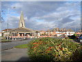
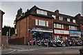
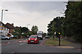
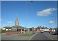
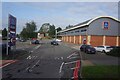
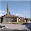
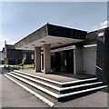
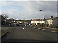
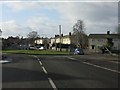
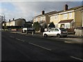
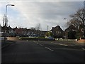
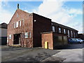
30 photos from this area
Area Information
Key information about the B26 3DJ including its size, population, and administrative classification.
- Area Type
- Postcode
- Area Size
- 3.8 hectares
- Population
- 1727
- Population Density
- 3414 people/km²
House Prices in B26 3DJ
39
Properties
£156,962
Average Sold Price
£16,400
Lowest Price
£230,000
Highest Price
Showing 39 properties
| Address | Type | Beds | Baths | Last Sale Price | Last Sale Date | |
|---|---|---|---|---|---|---|
| 53 Bickley Grove, Birmingham, B26 3DJ | Terraced | 3 | 1 | £225,000 | Aug 2025 | |
| 79 Bickley Grove, Birmingham, B26 3DJ | Flat | - | - | £85,000 | Dec 2023 | |
| 21 Bickley Grove, Birmingham, B26 3DJ | house | 3 | 2 | £230,000 | Nov 2023 | |
| 41 Bickley Grove, Birmingham, B26 3DJ | Terraced | 2 | 1 | £220,000 | Jul 2023 | |
| 27 Bickley Grove, Birmingham, B26 3DJ | Semi-detached | 3 | 1 | £230,000 | Sep 2021 | |
| 19 Bickley Grove, Birmingham, B26 3DJ | house | - | - | £195,000 | Jul 2021 | |
| 61 Bickley Grove, Birmingham, B26 3DJ | Semi-detached | 3 | 1 | £220,050 | Oct 2019 | |
| 51 Bickley Grove, Birmingham, B26 3DJ | Terraced | 3 | 1 | £200,000 | Oct 2019 | |
| 69 Bickley Grove, Birmingham, B26 3DJ | Terraced | 3 | - | £134,950 | Aug 2015 | |
| 37 Bickley Grove, Birmingham, B26 3DJ | Terraced | 2 | - | £117,500 | Jul 2014 |
Page 1 of 4
Energy Efficiency in B26 3DJ
Amenities
Schools
| Rank | School | Type | Entry gender | Ages |
|---|
Explore more schools in this area
Go to Schools tabDemographics
Household Size
One person
most common
Accommodation Type
Houses
most common
Tenure
57
majority
Ethnic Group
White
most common
Religion
N/A
most common
Household Composition
N/A
most common
Age
47
median
Adults (30-64 years)
most common
Household Deprivation
N/A
with no deprivation
NS-SEC
24
in Lower managerial occupations
Explore more demographic insights in this area
Go to Demographics tabPlanning
Planning Constraints
- Flood RiskPremium
- Ramsar Wetland SitesPremium
- Area of Outstanding Natural BeautyPremium
- Protected Nature ReservePremium
- Protected WoodlandPremium