Area Overview for B26 3DD
Photos of B26 3DD
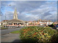
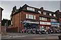
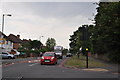
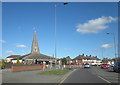
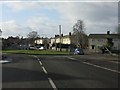
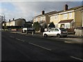
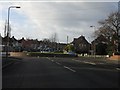
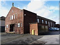
30 photos from this area
Area Information
Key information about the B26 3DD including its size, population, and administrative classification.
- Area Type
- Postcode
- Area Size
- 1.3 hectares
- Population
- 1727
- Population Density
- 3414 people/km²
House Prices in B26 3DD
44
Properties
£146,119
Average Sold Price
£79,950
Lowest Price
£254,500
Highest Price
Showing 44 properties
| Address | Type | Beds | Baths | Last Sale Price | Last Sale Date | |
|---|---|---|---|---|---|---|
| 76 Keble Grove, Birmingham, B26 3DD | Detached | 2 | 1 | £254,500 | Sep 2025 | |
| 26 Keble Grove, Birmingham, B26 3DD | Flat | - | - | £100,000 | Mar 2022 | |
| 46 Keble Grove, Birmingham, B26 3DD | house | - | - | £148,500 | Sep 2021 | |
| 75 Keble Grove, Birmingham, B26 3DD | Detached | 3 | 1 | £240,000 | Mar 2021 | |
| 80 Keble Grove, Birmingham, B26 3DD | Bungalow | 2 | 1 | £210,000 | Jan 2019 | |
| 48 Keble Grove, Birmingham, B26 3DD | Terraced | 3 | 2 | £176,000 | May 2018 | |
| 74 Keble Grove, Birmingham, B26 3DD | Detached | 3 | - | £191,000 | Feb 2016 | |
| 10 Keble Grove, Birmingham, B26 3DD | Flat | 2 | 1 | £90,000 | Apr 2015 | |
| 34 Keble Grove, Birmingham, B26 3DD | Flat | - | - | £91,500 | Sep 2014 | |
| 32 Keble Grove, Birmingham, B26 3DD | Flat | - | - | £80,000 | Apr 2010 |
Page 1 of 5
Energy Efficiency in B26 3DD
Amenities
Schools
| Rank | School | Type | Entry gender | Ages |
|---|
Explore more schools in this area
Go to Schools tabDemographics
Household Size
One person
most common
Accommodation Type
Houses
most common
Tenure
57
majority
Ethnic Group
White
most common
Religion
N/A
most common
Household Composition
N/A
most common
Age
47
median
Adults (30-64 years)
most common
Household Deprivation
N/A
with no deprivation
NS-SEC
24
in Lower managerial occupations
Explore more demographic insights in this area
Go to Demographics tabPlanning
Planning Constraints
- Flood RiskPremium
- Ramsar Wetland SitesPremium
- Area of Outstanding Natural BeautyPremium
- Protected Nature ReservePremium
- Protected WoodlandPremium