Area Overview for B26 3AB
Photos of B26 3AB
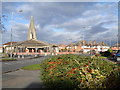
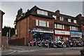
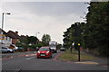
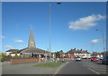
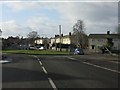
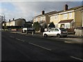
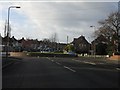
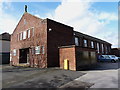
30 photos from this area
Area Information
Key information about the B26 3AB including its size, population, and administrative classification.
- Area Type
- Postcode
- Area Size
- 1.3 hectares
- Population
- 1946
- Population Density
- 6653 people/km²
House Prices in B26 3AB
32
Properties
£121,177
Average Sold Price
£39,950
Lowest Price
£195,000
Highest Price
Showing 32 properties
| Address | Type | Beds | Baths | Last Sale Price | Last Sale Date | |
|---|---|---|---|---|---|---|
| 12 Edendale Road, Birmingham, B26 3AB | Semi-detached | 3 | 1 | £171,500 | Dec 2022 | |
| 8 Edendale Road, Birmingham, B26 3AB | Semi-detached | 3 | 1 | £195,000 | Sep 2022 | |
| 42 Edendale Road, Birmingham, B26 3AB | house | 3 | - | £160,000 | Jan 2019 | |
| 27 Edendale Road, Birmingham, B26 3AB | house | - | - | £140,000 | Jun 2018 | |
| 32 Edendale Road, Birmingham, B26 3AB | Semi-detached | 3 | - | £135,000 | Aug 2015 | |
| 3 Edendale Road, Birmingham, B26 3AB | house | 3 | - | £85,000 | Nov 2011 | |
| 16 Edendale Road, Birmingham, B26 3AB | house | 3 | - | £122,000 | Nov 2011 | |
| 34 Edendale Road, Birmingham, B26 3AB | Semi-detached | - | - | £116,500 | Oct 2009 | |
| 40 Edendale Road, Birmingham, B26 3AB | Semi-detached | 3 | 1 | £118,000 | Jan 2008 | |
| 25 Edendale Road, Birmingham, B26 3AB | Semi-detached | - | - | £50,000 | Nov 2001 |
Page 1 of 4
Energy Efficiency in B26 3AB
Amenities
Schools
| Rank | School | Type | Entry gender | Ages |
|---|
Explore more schools in this area
Go to Schools tabDemographics
Household Size
Family (3-5 people)
most common
Accommodation Type
Houses
most common
Tenure
62
majority
Ethnic Group
White
most common
Religion
N/A
most common
Household Composition
N/A
most common
Age
47
median
Adults (30-64 years)
most common
Household Deprivation
N/A
with no deprivation
NS-SEC
19
in Lower managerial occupations
Explore more demographic insights in this area
Go to Demographics tabPlanning
Planning Constraints
- Flood RiskPremium
- Ramsar Wetland SitesPremium
- Area of Outstanding Natural BeautyPremium
- Protected Nature ReservePremium
- Protected WoodlandPremium