Area Overview for B26 2DH
Photos of B26 2DH
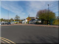

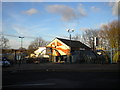
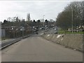

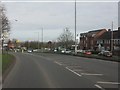
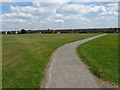
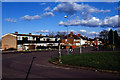
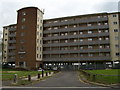
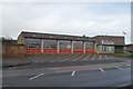


18 photos from this area
Area Information
Key information about the B26 2DH including its size, population, and administrative classification.
- Area Type
- Postcode
- Area Size
- 2.1 hectares
- Population
- 1735
- Population Density
- 5896 people/km²
House Prices in B26 2DH
30
Properties
£128,568
Average Sold Price
£55,950
Lowest Price
£275,000
Highest Price
Showing 30 properties
| Address | Type | Beds | Baths | Last Sale Price | Last Sale Date | |
|---|---|---|---|---|---|---|
| 41 Sheldon Heath Road, Sheldon, Birmingham, B26 2DH | Semi-detached | 4 | 1 | £275,000 | May 2024 | |
| 43 Sheldon Heath Road, Sheldon, Birmingham, B26 2DH | house | - | - | £216,000 | Dec 2021 | |
| 60 Sheldon Heath Road, Sheldon, Birmingham, B26 2DH | house | - | - | £201,000 | Dec 2020 | |
| 54 Sheldon Heath Road, Sheldon, Birmingham, B26 2DH | Semi-detached | 3 | - | £125,000 | Mar 2015 | |
| 64 Sheldon Heath Road, Sheldon, Birmingham, B26 2DH | house | 3 | - | £109,000 | Nov 2013 | |
| 46 Sheldon Heath Road, Sheldon, Birmingham, B26 2DH | Semi-detached | 3 | 1 | £89,000 | May 2012 | |
| 52 Sheldon Heath Road, Sheldon, Birmingham, B26 2DH | house | - | - | £109,125 | Jun 2010 | |
| 38 Sheldon Heath Road, Sheldon, Birmingham, B26 2DH | house | - | - | £140,000 | Sep 2007 | |
| 40 Sheldon Heath Road, Sheldon, Birmingham, B26 2DH | house | - | - | £130,000 | Mar 2007 | |
| 29 Sheldon Heath Road, Sheldon, Birmingham, B26 2DH | house | 5 | - | £153,000 | Jun 2006 |
Page 1 of 3
Energy Efficiency in B26 2DH
Amenities
Schools
| Rank | School | Type | Entry gender | Ages |
|---|
Explore more schools in this area
Go to Schools tabDemographics
Household Size
Family (3-5 people)
most common
Accommodation Type
Houses
most common
Tenure
47
majority
Ethnic Group
White
most common
Religion
N/A
most common
Household Composition
N/A
most common
Age
47
median
Adults (30-64 years)
most common
Household Deprivation
N/A
with no deprivation
NS-SEC
15
in Lower managerial occupations
Explore more demographic insights in this area
Go to Demographics tabPlanning
Planning Constraints
- Flood RiskPremium
- Ramsar Wetland SitesPremium
- Area of Outstanding Natural BeautyPremium
- Protected Nature ReservePremium
- Protected WoodlandPremium