Area Overview for B24 0ND
Photos of B24 0ND
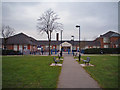
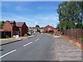
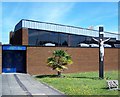
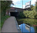
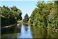
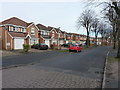
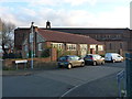
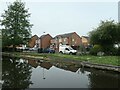
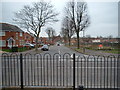
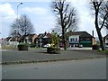
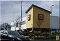
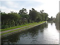
31 photos from this area
Area Information
Key information about the B24 0ND including its size, population, and administrative classification.
- Area Type
- Postcode
- Area Size
- 4789 m²
- Population
- 2112
- Population Density
- 4157 people/km²
House Prices in B24 0ND
30
Properties
£140,725
Average Sold Price
£69,950
Lowest Price
£245,000
Highest Price
Showing 30 properties
| Address | Type | Beds | Baths | Last Sale Price | Last Sale Date | |
|---|---|---|---|---|---|---|
| 72 Marshbrook Road, Birmingham, B24 0ND | Semi-detached | 3 | 1 | £245,000 | Oct 2024 | |
| 96 Marshbrook Road, Birmingham, B24 0ND | Semi-detached | 2 | 2 | £201,000 | Aug 2021 | |
| 66 Marshbrook Road, Birmingham, B24 0ND | Semi-detached | 3 | 1 | £186,400 | Jun 2021 | |
| 68 Marshbrook Road, Birmingham, B24 0ND | Semi-detached | 3 | 1 | £187,000 | Jun 2021 | |
| 74 Marshbrook Road, Birmingham, B24 0ND | house | - | - | £203,500 | May 2021 | |
| 50 Marshbrook Road, Birmingham, B24 0ND | Semi-detached | 3 | - | £165,000 | Jul 2014 | |
| 98 Marshbrook Road, Birmingham, B24 0ND | house | 2 | - | £131,000 | Jun 2012 | |
| 70 Marshbrook Road, Birmingham, B24 0ND | house | - | - | £95,000 | Nov 2008 | |
| 94 Marshbrook Road, Birmingham, B24 0ND | house | 4 | 1 | £149,500 | Nov 2003 | |
| 92 Marshbrook Road, Birmingham, B24 0ND | house | - | - | £103,950 | Dec 2000 |
Page 1 of 3
Energy Efficiency in B24 0ND
Amenities
Schools
| Rank | School | Type | Entry gender | Ages |
|---|
Explore more schools in this area
Go to Schools tabDemographics
Household Size
One person
most common
Accommodation Type
Houses
most common
Tenure
44
majority
Ethnic Group
White
most common
Religion
N/A
most common
Household Composition
N/A
most common
Age
47
median
Adults (30-64 years)
most common
Household Deprivation
N/A
with no deprivation
NS-SEC
22
in Lower managerial occupations
Explore more demographic insights in this area
Go to Demographics tabPlanning
Planning Constraints
- Flood RiskPremium
- Ramsar Wetland SitesPremium
- Area of Outstanding Natural BeautyPremium
- Protected Nature ReservePremium
- Protected WoodlandPremium