Area Overview for B24 0NJ
Photos of B24 0NJ
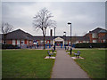
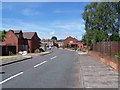
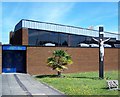
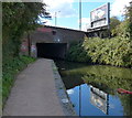
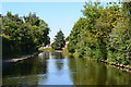
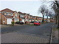
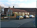
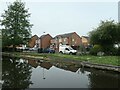
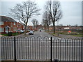
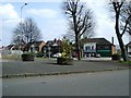
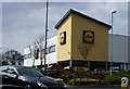
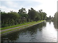
31 photos from this area
Area Information
Key information about the B24 0NJ including its size, population, and administrative classification.
- Area Type
- Postcode
- Area Size
- 1.4 hectares
- Population
- 2112
- Population Density
- 4157 people/km²
House Prices in B24 0NJ
82
Properties
£143,055
Average Sold Price
£73,950
Lowest Price
£270,000
Highest Price
Showing 82 properties
| Address | Type | Beds | Baths | Last Sale Price | Last Sale Date | |
|---|---|---|---|---|---|---|
| 38 Marshbrook Road, Birmingham, B24 0NJ | Semi-detached | 2 | 1 | £195,000 | Nov 2024 | |
| 97 Marshbrook Road, Birmingham, B24 0NJ | house | - | - | £270,000 | Dec 2022 | |
| 43 Marshbrook Road, Birmingham, B24 0NJ | house | - | - | £178,000 | Sep 2020 | |
| 55 Marshbrook Road, Birmingham, B24 0NJ | Semi-detached | 4 | 1 | £237,000 | Sep 2019 | |
| 41 Marshbrook Road, Birmingham, B24 0NJ | Terraced | 3 | - | £185,000 | May 2019 | |
| 27 Marshbrook Road, Birmingham, B24 0NJ | house | - | - | £192,000 | Apr 2017 | |
| 35 Marshbrook Road, Birmingham, B24 0NJ | Terraced | 2 | 1 | £135,000 | Sep 2016 | |
| 47 Marshbrook Road, Birmingham, B24 0NJ | Semi-detached | 2 | 1 | £119,000 | Apr 2014 | |
| 49 Marshbrook Road, Birmingham, B24 0NJ | house | 3 | - | £167,000 | Dec 2013 | |
| 36 Marshbrook Road, Birmingham, B24 0NJ | Semi-detached | 2 | - | £125,000 | Nov 2013 |
Page 1 of 9
Energy Efficiency in B24 0NJ
Amenities
Schools
| Rank | School | Type | Entry gender | Ages |
|---|
Explore more schools in this area
Go to Schools tabDemographics
Household Size
One person
most common
Accommodation Type
Houses
most common
Tenure
44
majority
Ethnic Group
White
most common
Religion
N/A
most common
Household Composition
N/A
most common
Age
47
median
Adults (30-64 years)
most common
Household Deprivation
N/A
with no deprivation
NS-SEC
22
in Lower managerial occupations
Explore more demographic insights in this area
Go to Demographics tabPlanning
Planning Constraints
- Flood RiskPremium
- Ramsar Wetland SitesPremium
- Area of Outstanding Natural BeautyPremium
- Protected Nature ReservePremium
- Protected WoodlandPremium