Area Overview for B23 5PS
Photos of B23 5PS
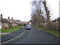
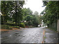
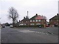
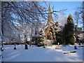
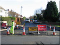
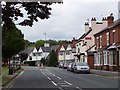
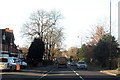
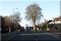
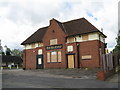
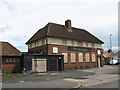
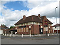
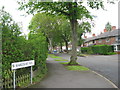
49 photos from this area
Area Information
Key information about the B23 5PS including its size, population, and administrative classification.
- Area Type
- Postcode
- Area Size
- 9904 m²
- Population
- 2050
- Population Density
- 7441 people/km²
House Prices in B23 5PS
32
Properties
£105,464
Average Sold Price
£45,000
Lowest Price
£165,000
Highest Price
Showing 32 properties
| Address | Type | Beds | Baths | Last Sale Price | Last Sale Date | |
|---|---|---|---|---|---|---|
| 29 Top Croft Road, Birmingham, B23 5PS | house | - | - | £158,000 | Nov 2021 | |
| 55 Top Croft Road, Birmingham, B23 5PS | house | - | - | £145,000 | Mar 2021 | |
| 43 Top Croft Road, Birmingham, B23 5PS | Semi-detached | 4 | 1 | £165,000 | Nov 2019 | |
| 56 Top Croft Road, Birmingham, B23 5PS | house | 3 | 1 | £143,000 | Aug 2018 | |
| 40 Top Croft Road, Birmingham, B23 5PS | Terraced | - | - | £90,000 | Feb 2016 | |
| 45 Top Croft Road, Birmingham, B23 5PS | Semi-detached | - | - | £130,000 | Sep 2015 | |
| 33 Top Croft Road, Birmingham, B23 5PS | house | - | - | £99,000 | Jun 2015 | |
| 48 Top Croft Road, Birmingham, B23 5PS | Terraced | 3 | - | £112,500 | Apr 2014 | |
| 38 Top Croft Road, Birmingham, B23 5PS | house | 3 | - | £103,000 | Dec 2013 | |
| 42 Top Croft Road, Birmingham, B23 5PS | house | 3 | - | £82,500 | Oct 2012 |
Page 1 of 4
Energy Efficiency in B23 5PS
Amenities
Schools
| Rank | School | Type | Entry gender | Ages |
|---|
Explore more schools in this area
Go to Schools tabDemographics
Household Size
Family (3-5 people)
most common
Accommodation Type
Houses
most common
Tenure
31
majority
Ethnic Group
White
most common
Religion
N/A
most common
Household Composition
N/A
most common
Age
22
median
Adults (30-64 years)
most common
Household Deprivation
N/A
with no deprivation
NS-SEC
19
in Lower managerial occupations
Explore more demographic insights in this area
Go to Demographics tabPlanning
Planning Constraints
- Flood RiskPremium
- Ramsar Wetland SitesPremium
- Area of Outstanding Natural BeautyPremium
- Protected Nature ReservePremium
- Protected WoodlandPremium