Area Overview for B23 5QE
Photos of B23 5QE
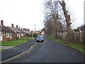
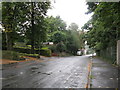
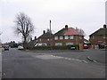
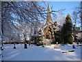
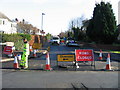
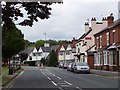
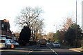
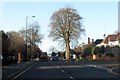
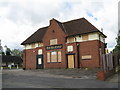
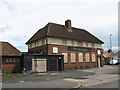
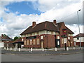
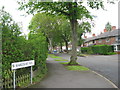
49 photos from this area
Area Information
Key information about the B23 5QE including its size, population, and administrative classification.
- Area Type
- Postcode
- Area Size
- 2.3 hectares
- Population
- 1679
- Population Density
- 5189 people/km²
House Prices in B23 5QE
24
Properties
£139,417
Average Sold Price
£28,000
Lowest Price
£260,000
Highest Price
Showing 24 properties
| Address | Type | Beds | Baths | Last Sale Price | Last Sale Date | |
|---|---|---|---|---|---|---|
| 170 Goosemoor Lane, Birmingham, B23 5QE | Terraced | 3 | 2 | £260,000 | Sep 2025 | |
| 190 Goosemoor Lane, Birmingham, B23 5QE | Semi-detached | 3 | 2 | £225,000 | Mar 2021 | |
| 144 Goosemoor Lane, Birmingham, B23 5QE | house | - | - | £205,000 | Dec 2020 | |
| 166 Goosemoor Lane, Birmingham, B23 5QE | Terraced | 3 | 1 | £155,000 | Nov 2018 | |
| 168 Goosemoor Lane, Birmingham, B23 5QE | house | - | - | £130,000 | Jul 2018 | |
| 148 Goosemoor Lane, Birmingham, B23 5QE | house | 3 | - | £148,000 | Oct 2016 | |
| 184 Goosemoor Lane, Birmingham, B23 5QE | Semi-detached | 3 | - | £158,000 | Mar 2016 | |
| 164 Goosemoor Lane, Birmingham, B23 5QE | Semi-detached | 3 | 1 | £145,000 | Dec 2006 | |
| 156 Goosemoor Lane, Birmingham, B23 5QE | Detached | 1 | 2 | £85,000 | Jul 2003 | |
| 188 Goosemoor Lane, Birmingham, B23 5QE | Semi-detached | - | - | £91,000 | Apr 2001 |
Page 1 of 3
Energy Efficiency in B23 5QE
Amenities
Schools
| Rank | School | Type | Entry gender | Ages |
|---|
Explore more schools in this area
Go to Schools tabDemographics
Household Size
Family (3-5 people)
most common
Accommodation Type
Houses
most common
Tenure
71
majority
Ethnic Group
White
most common
Religion
N/A
most common
Household Composition
N/A
most common
Age
47
median
Adults (30-64 years)
most common
Household Deprivation
N/A
with no deprivation
NS-SEC
35
in Lower managerial occupations
Explore more demographic insights in this area
Go to Demographics tabPlanning
Planning Constraints
- Flood RiskPremium
- Ramsar Wetland SitesPremium
- Area of Outstanding Natural BeautyPremium
- Protected Nature ReservePremium
- Protected WoodlandPremium