Area Overview for B23 5DJ
Photos of B23 5DJ
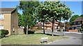
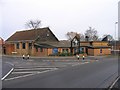
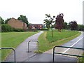
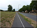
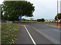
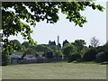

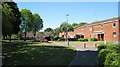
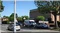
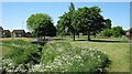
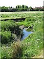
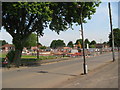
31 photos from this area
Area Information
Key information about the B23 5DJ including its size, population, and administrative classification.
- Area Type
- Postcode
- Area Size
- 4913 m²
- Population
- 1759
- Population Density
- 6532 people/km²
House Prices in B23 5DJ
16
Properties
£166,123
Average Sold Price
£25,000
Lowest Price
£290,000
Highest Price
Showing 16 properties
| Address | Type | Beds | Baths | Last Sale Price | Last Sale Date | |
|---|---|---|---|---|---|---|
| 46 Maxted Road, Birmingham, B23 5DJ | house | 3 | 1 | £271,000 | Mar 2025 | |
| 52 Maxted Road, Birmingham, B23 5DJ | house | 3 | 1 | £290,000 | Jan 2025 | |
| 42 Maxted Road, Birmingham, B23 5DJ | Detached | 3 | 1 | £255,749 | Sep 2022 | |
| 54 Maxted Road, Birmingham, B23 5DJ | Detached | 3 | 1 | £233,000 | Nov 2021 | |
| 30 Maxted Road, Birmingham, B23 5DJ | Detached | 3 | 1 | £210,000 | Mar 2021 | |
| 26 Maxted Road, Birmingham, B23 5DJ | house | - | - | £178,000 | Jan 2021 | |
| 44 Maxted Road, Birmingham, B23 5DJ | Detached | 3 | - | £165,000 | May 2013 | |
| 50 Maxted Road, Birmingham, B23 5DJ | Detached | 3 | - | £164,950 | May 2006 | |
| 38 Maxted Road, Birmingham, B23 5DJ | Semi-detached | - | - | £147,950 | Jan 2005 | |
| 28 Maxted Road, Birmingham, B23 5DJ | house | - | - | £99,000 | Aug 2002 |
Page 1 of 2
Energy Efficiency in B23 5DJ
Amenities
Schools
| Rank | School | Type | Entry gender | Ages |
|---|
Explore more schools in this area
Go to Schools tabDemographics
Household Size
One person
most common
Accommodation Type
Houses
most common
Tenure
48
majority
Ethnic Group
White
most common
Religion
N/A
most common
Household Composition
N/A
most common
Age
47
median
Adults (30-64 years)
most common
Household Deprivation
N/A
with no deprivation
NS-SEC
20
in Lower managerial occupations
Explore more demographic insights in this area
Go to Demographics tabPlanning
Planning Constraints
- Flood RiskPremium
- Ramsar Wetland SitesPremium
- Area of Outstanding Natural BeautyPremium
- Protected Nature ReservePremium
- Protected WoodlandPremium