Area Overview for B23 5DA
Photos of B23 5DA
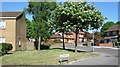
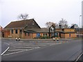
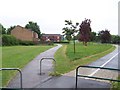
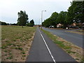
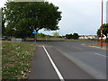
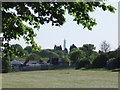

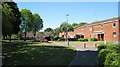
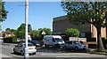
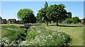
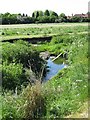
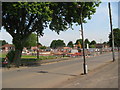
31 photos from this area
Area Information
Key information about the B23 5DA including its size, population, and administrative classification.
- Area Type
- Postcode
- Area Size
- 6769 m²
- Population
- 1759
- Population Density
- 6532 people/km²
House Prices in B23 5DA
24
Properties
£141,928
Average Sold Price
£78,500
Lowest Price
£178,000
Highest Price
Showing 24 properties
| Address | Type | Beds | Baths | Last Sale Price | Last Sale Date | |
|---|---|---|---|---|---|---|
| 67 Hurstwood Road, Birmingham, B23 5DA | Terraced | 2 | - | £178,000 | Jul 2022 | |
| 95 Hurstwood Road, Birmingham, B23 5DA | Maisonette | - | - | £119,000 | Sep 2021 | |
| 59 Hurstwood Road, Birmingham, B23 5DA | Terraced | 3 | 2 | £163,000 | Sep 2021 | |
| 73 Hurstwood Road, Birmingham, B23 5DA | house | - | - | £148,067 | Aug 2021 | |
| 65 Hurstwood Road, Birmingham, B23 5DA | house | - | - | £165,000 | May 2021 | |
| 87 Hurstwood Road, Birmingham, B23 5DA | Bungalow | 1 | - | £78,500 | Dec 2015 | |
| 83 Hurstwood Road, Birmingham, B23 5DA | Flat | - | - | - | - | |
| 79 Hurstwood Road, Birmingham, B23 5DA | Flat | - | - | - | - | |
| 81 Hurstwood Road, Birmingham, B23 5DA | Flat | - | - | - | - | |
| 85 Hurstwood Road, Birmingham, B23 5DA | Flat | - | - | - | - |
Page 1 of 3
Energy Efficiency in B23 5DA
Amenities
Schools
| Rank | School | Type | Entry gender | Ages |
|---|
Explore more schools in this area
Go to Schools tabDemographics
Household Size
One person
most common
Accommodation Type
Houses
most common
Tenure
48
majority
Ethnic Group
White
most common
Religion
N/A
most common
Household Composition
N/A
most common
Age
47
median
Adults (30-64 years)
most common
Household Deprivation
N/A
with no deprivation
NS-SEC
20
in Lower managerial occupations
Explore more demographic insights in this area
Go to Demographics tabPlanning
Planning Constraints
- Flood RiskPremium
- Ramsar Wetland SitesPremium
- Area of Outstanding Natural BeautyPremium
- Protected Nature ReservePremium
- Protected WoodlandPremium