Area Overview for B21 8PR
Photos of B21 8PR
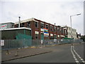
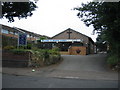
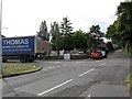
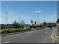
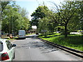
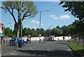
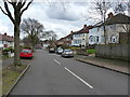
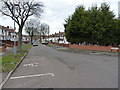
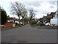
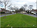
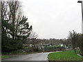
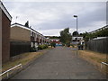
23 photos from this area
Area Information
Key information about the B21 8PR including its size, population, and administrative classification.
- Area Type
- Postcode
- Area Size
- 3990 m²
- Population
- Not available
- Population Density
- Not available
House Prices in B21 8PR
13
Properties
£124,857
Average Sold Price
£75,000
Lowest Price
£182,000
Highest Price
Showing 13 properties
| Address | Type | Beds | Baths | Last Sale Price | Last Sale Date | |
|---|---|---|---|---|---|---|
| 64 Hollycroft Road, Birmingham, B21 8PR | house | - | - | £182,000 | Nov 2021 | |
| 66 Hollycroft Road, Birmingham, B21 8PR | house | - | - | £137,000 | Aug 2018 | |
| 63 Hollycroft Road, Birmingham, B21 8PR | Semi-detached | 3 | 1 | £135,000 | Oct 2015 | |
| 73 Hollycroft Road, Birmingham, B21 8PR | Terraced | 3 | - | £122,000 | Mar 2014 | |
| 62 Hollycroft Road, Birmingham, B21 8PR | house | 3 | 1 | £108,000 | Aug 2013 | |
| 69 Hollycroft Road, Birmingham, B21 8PR | house | - | - | £115,000 | Jan 2013 | |
| 68 Hollycroft Road, Birmingham, B21 8PR | house | - | - | £75,000 | Dec 2004 | |
| 67 Hollycroft Road, Birmingham, B21 8PR | Semi-detached | 3 | 1 | - | - | |
| 71 Hollycroft Road, Birmingham, B21 8PR | Terraced | - | - | - | - | |
| 75 Hollycroft Road, Birmingham, B21 8PR | Terraced | - | - | - | - |
Page 1 of 2
Energy Efficiency in B21 8PR
Amenities
Schools
| Rank | School | Type | Entry gender | Ages |
|---|
Explore more schools in this area
Go to Schools tabDemographics
Household Size
Family (3-5 people)
most common
Accommodation Type
Houses
most common
Tenure
80
majority
Ethnic Group
asian_total
most common
Religion
N/A
most common
Household Composition
N/A
most common
Age
47
median
Adults (30-64 years)
most common
Household Deprivation
N/A
with no deprivation
NS-SEC
19
in Lower managerial occupations
Explore more demographic insights in this area
Go to Demographics tabPlanning
Planning Constraints
- Flood RiskPremium
- Ramsar Wetland SitesPremium
- Area of Outstanding Natural BeautyPremium
- Protected Nature ReservePremium
- Protected WoodlandPremium