Area Overview for B21 8DA
Photos of B21 8DA
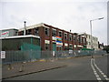
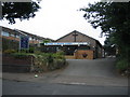
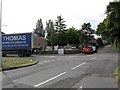
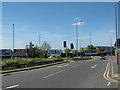
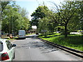
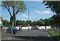
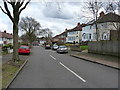
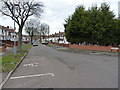
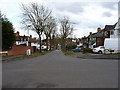
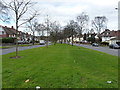
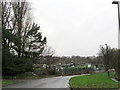
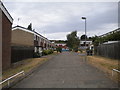
23 photos from this area
Area Information
Key information about the B21 8DA including its size, population, and administrative classification.
- Area Type
- Postcode
- Area Size
- 6026 m²
- Population
- 1621
- Population Density
- 12605 people/km²
House Prices in B21 8DA
36
Properties
£88,255
Average Sold Price
£18,000
Lowest Price
£180,000
Highest Price
Showing 36 properties
| Address | Type | Beds | Baths | Last Sale Price | Last Sale Date | |
|---|---|---|---|---|---|---|
| 191 Newcombe Road, Birmingham, B21 8DA | Terraced | 2 | 1 | £180,000 | Aug 2024 | |
| 189 Newcombe Road, Birmingham, B21 8DA | Terraced | 3 | 1 | £165,000 | Dec 2023 | |
| 217 Newcombe Road, Birmingham, B21 8DA | house | - | - | £155,000 | Jul 2021 | |
| 247 Newcombe Road, Birmingham, B21 8DA | Terraced | 2 | 1 | £130,000 | Dec 2020 | |
| 223 Newcombe Road, Birmingham, B21 8DA | Terraced | 3 | 1 | £133,000 | Feb 2020 | |
| 225 Newcombe Road, Birmingham, B21 8DA | Terraced | 2 | 2 | £94,000 | Sep 2017 | |
| 239 Newcombe Road, Birmingham, B21 8DA | Terraced | 3 | 1 | £109,000 | Sep 2017 | |
| 215 Newcombe Road, Birmingham, B21 8DA | house | 2 | 1 | £33,000 | Oct 2016 | |
| 207 Newcombe Road, Birmingham, B21 8DA | house | - | - | £110,000 | Feb 2016 | |
| 195 Newcombe Road, Birmingham, B21 8DA | house | - | - | £56,000 | Sep 2012 |
Page 1 of 4
Energy Efficiency in B21 8DA
Amenities
Schools
| Rank | School | Type | Entry gender | Ages |
|---|
Explore more schools in this area
Go to Schools tabDemographics
Household Size
Family (3-5 people)
most common
Accommodation Type
Houses
most common
Tenure
50
majority
Ethnic Group
asian_total
most common
Religion
N/A
most common
Household Composition
N/A
most common
Age
47
median
Adults (30-64 years)
most common
Household Deprivation
N/A
with no deprivation
NS-SEC
10
in Lower managerial occupations
Explore more demographic insights in this area
Go to Demographics tabPlanning
Planning Constraints
- Flood RiskPremium
- Ramsar Wetland SitesPremium
- Area of Outstanding Natural BeautyPremium
- Protected Nature ReservePremium
- Protected WoodlandPremium