Area Overview for B21 8EE
Photos of B21 8EE
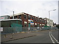
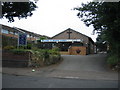
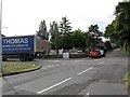
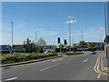
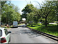
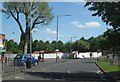
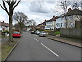
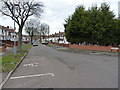
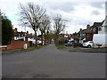
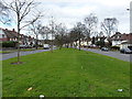
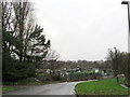
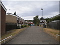
23 photos from this area
Area Information
Key information about the B21 8EE including its size, population, and administrative classification.
- Area Type
- Postcode
- Area Size
- 6117 m²
- Population
- 1473
- Population Density
- 5141 people/km²
House Prices in B21 8EE
27
Properties
£97,542
Average Sold Price
£28,000
Lowest Price
£175,000
Highest Price
Showing 27 properties
| Address | Type | Beds | Baths | Last Sale Price | Last Sale Date | |
|---|---|---|---|---|---|---|
| 78 Farnham Road, Birmingham, B21 8EE | Terraced | 2 | 1 | £128,000 | Sep 2023 | |
| 102 Farnham Road, Birmingham, B21 8EE | Terraced | 2 | 1 | £145,000 | Jun 2023 | |
| 108 Farnham Road, Birmingham, B21 8EE | house | - | - | £175,000 | Aug 2021 | |
| 104 Farnham Road, Birmingham, B21 8EE | Terraced | 2 | 1 | £110,000 | Feb 2021 | |
| 100 Farnham Road, Birmingham, B21 8EE | Terraced | 4 | 1 | £138,000 | Nov 2019 | |
| 98 Farnham Road, Birmingham, B21 8EE | Terraced | 3 | - | £66,000 | Aug 2018 | |
| 96 Farnham Road, Birmingham, B21 8EE | Terraced | 3 | 1 | £105,000 | Jan 2018 | |
| 90 Farnham Road, Birmingham, B21 8EE | Terraced | 2 | 1 | £96,000 | Dec 2017 | |
| 128 Farnham Road, Birmingham, B21 8EE | house | - | - | £138,500 | Jul 2017 | |
| 126 Farnham Road, Birmingham, B21 8EE | Semi-detached | 3 | 1 | £106,500 | May 2017 |
Page 1 of 3
Energy Efficiency in B21 8EE
Amenities
Schools
| Rank | School | Type | Entry gender | Ages |
|---|
Explore more schools in this area
Go to Schools tabDemographics
Household Size
Family (3-5 people)
most common
Accommodation Type
Houses
most common
Tenure
36
majority
Ethnic Group
asian_total
most common
Religion
N/A
most common
Household Composition
N/A
most common
Age
47
median
Adults (30-64 years)
most common
Household Deprivation
N/A
with no deprivation
NS-SEC
11
in Lower managerial occupations
Explore more demographic insights in this area
Go to Demographics tabPlanning
Planning Constraints
- Flood RiskPremium
- Ramsar Wetland SitesPremium
- Area of Outstanding Natural BeautyPremium
- Protected Nature ReservePremium
- Protected WoodlandPremium