Area Overview for B21 8BS
Photos of B21 8BS
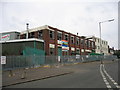
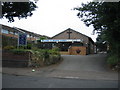
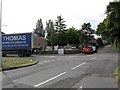
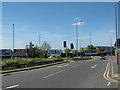
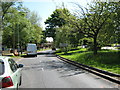
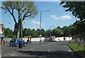
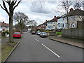
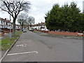
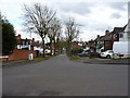
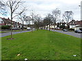
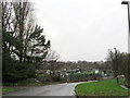
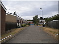
23 photos from this area
Area Information
Key information about the B21 8BS including its size, population, and administrative classification.
- Area Type
- Postcode
- Area Size
- 1.0 hectares
- Population
- 1473
- Population Density
- 5141 people/km²
House Prices in B21 8BS
41
Properties
£87,758
Average Sold Price
£25,000
Lowest Price
£230,000
Highest Price
Showing 41 properties
| Address | Type | Beds | Baths | Last Sale Price | Last Sale Date | |
|---|---|---|---|---|---|---|
| 120 Uplands Road, Birmingham, B21 8BS | Terraced | 3 | 1 | £130,000 | Mar 2025 | |
| 194 Uplands Road, Birmingham, B21 8BS | Semi-detached | 3 | 1 | £214,000 | Feb 2025 | |
| 136 Uplands Road, Birmingham, B21 8BS | Terraced | 2 | 1 | £150,000 | Aug 2023 | |
| 188 Uplands Road, Birmingham, B21 8BS | Semi-detached | 3 | 1 | £230,000 | Dec 2022 | |
| 156 Uplands Road, Birmingham, B21 8BS | house | - | - | £145,000 | Aug 2021 | |
| 102 Uplands Road, Birmingham, B21 8BS | Terraced | 3 | 1 | £105,000 | Aug 2020 | |
| 160 Uplands Road, Birmingham, B21 8BS | Terraced | 2 | 1 | £73,000 | Feb 2014 | |
| 150 Uplands Road, Birmingham, B21 8BS | Terraced | 2 | 1 | £93,500 | Dec 2011 | |
| 164 Uplands Road, Birmingham, B21 8BS | house | 2 | - | £82,000 | Dec 2010 | |
| 162 Uplands Road, Birmingham, B21 8BS | house | 3 | - | £92,000 | Dec 2010 |
Page 1 of 5
Energy Efficiency in B21 8BS
Amenities
Schools
| Rank | School | Type | Entry gender | Ages |
|---|
Explore more schools in this area
Go to Schools tabDemographics
Household Size
Family (3-5 people)
most common
Accommodation Type
Houses
most common
Tenure
36
majority
Ethnic Group
asian_total
most common
Religion
N/A
most common
Household Composition
N/A
most common
Age
47
median
Adults (30-64 years)
most common
Household Deprivation
N/A
with no deprivation
NS-SEC
11
in Lower managerial occupations
Explore more demographic insights in this area
Go to Demographics tabPlanning
Planning Constraints
- Flood RiskPremium
- Ramsar Wetland SitesPremium
- Area of Outstanding Natural BeautyPremium
- Protected Nature ReservePremium
- Protected WoodlandPremium