Area Overview for B20 3HY
Photos of B20 3HY

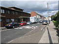


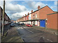
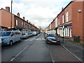

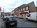
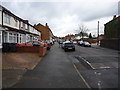


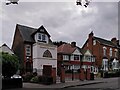
100 photos from this area
Area Information
Key information about the B20 3HY including its size, population, and administrative classification.
- Area Type
- Postcode
- Area Size
- 7711 m²
- Population
- 1628
- Population Density
- 12015 people/km²
House Prices in B20 3HY
15
Properties
£27,713
Average Sold Price
£14,850
Lowest Price
£33,500
Highest Price
Showing 15 properties
| Address | Type | Beds | Baths | Last Sale Price | Last Sale Date | |
|---|---|---|---|---|---|---|
| 209 Aston Lane, Birmingham, B20 3HY | Terraced | - | - | £14,850 | Jul 2001 | |
| 211 Aston Lane, Birmingham, B20 3HY | Terraced | 3 | 1 | £30,000 | Mar 2001 | |
| 215 Aston Lane, Birmingham, B20 3HY | Terraced | - | - | £33,500 | Mar 2000 | |
| 213 Aston Lane, Birmingham, B20 3HY | house | - | - | £32,500 | Sep 1999 | |
| Flat, 223 Aston Lane, Birmingham, B20 3HY | Retail | - | - | - | - | |
| Rear Of, 227 Aston Lane, Birmingham, B20 3HY | Industrial | - | - | - | - | |
| Flat, 227 Aston Lane, Birmingham, B20 3HY | Flat | - | - | - | - | |
| Flat 2, 227 Aston Lane, Birmingham, B20 3HY | Flat | - | - | - | - | |
| 199 Aston Lane, Birmingham, B20 3HY | house | - | - | - | - | |
| 207 Aston Lane, Birmingham, B20 3HY | house | - | - | - | - |
Page 1 of 2
Energy Efficiency in B20 3HY
Amenities
Schools
| Rank | School | Type | Entry gender | Ages |
|---|
Explore more schools in this area
Go to Schools tabDemographics
Household Size
Family (3-5 people)
most common
Accommodation Type
Houses
most common
Tenure
45
majority
Ethnic Group
asian_total
most common
Religion
N/A
most common
Household Composition
N/A
most common
Age
22
median
Adults (30-64 years)
most common
Household Deprivation
N/A
with no deprivation
NS-SEC
9
in Lower managerial occupations
Explore more demographic insights in this area
Go to Demographics tabPlanning
Planning Constraints
- Flood RiskPremium
- Ramsar Wetland SitesPremium
- Area of Outstanding Natural BeautyPremium
- Protected Nature ReservePremium
- Protected WoodlandPremium