Area Overview for B20 3HS
Photos of B20 3HS
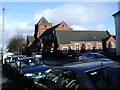
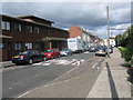

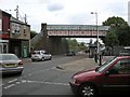
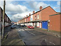
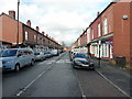
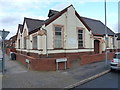
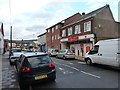
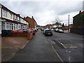
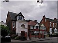
100 photos from this area
Area Information
Key information about the B20 3HS including its size, population, and administrative classification.
- Area Type
- Postcode
- Area Size
- 1.4 hectares
- Population
- 1628
- Population Density
- 12015 people/km²
House Prices in B20 3HS
16
Properties
£83,000
Average Sold Price
£30,000
Lowest Price
£118,000
Highest Price
Showing 16 properties
| Address | Type | Beds | Baths | Last Sale Price | Last Sale Date | |
|---|---|---|---|---|---|---|
| 249 Aston Lane, Birmingham, B20 3HS | house | - | - | £114,000 | Feb 2013 | |
| 251 Aston Lane, Birmingham, B20 3HS | house | - | - | £118,000 | Jan 2005 | |
| 233-235 Aston Lane, Birmingham, B20 3HS | Flat | - | - | £70,000 | Nov 2002 | |
| 259 Aston Lane, Birmingham, B20 3HS | Terraced | 3 | 1 | £30,000 | Sep 1995 | |
| Flat Over, 231 Aston Lane, Birmingham, B20 3HS | Retail | - | - | - | - | |
| Flat 2, 229 Aston Lane, Birmingham, B20 3HS | Flat | - | - | - | - | |
| Flat 1, 229 Aston Lane, Birmingham, B20 3HS | Flat | - | - | - | - | |
| Flat Over, 237 Aston Lane, Birmingham, B20 3HS | Flat | - | - | - | - | |
| 247 Aston Lane, Birmingham, B20 3HS | house | - | - | - | - | |
| 241 Aston Lane, Birmingham, B20 3HS | Terraced | - | - | - | - |
Page 1 of 2
Energy Efficiency in B20 3HS
Amenities
Schools
| Rank | School | Type | Entry gender | Ages |
|---|
Explore more schools in this area
Go to Schools tabDemographics
Household Size
Family (3-5 people)
most common
Accommodation Type
Houses
most common
Tenure
45
majority
Ethnic Group
asian_total
most common
Religion
N/A
most common
Household Composition
N/A
most common
Age
22
median
Adults (30-64 years)
most common
Household Deprivation
N/A
with no deprivation
NS-SEC
9
in Lower managerial occupations
Explore more demographic insights in this area
Go to Demographics tabPlanning
Planning Constraints
- Flood RiskPremium
- Ramsar Wetland SitesPremium
- Area of Outstanding Natural BeautyPremium
- Protected Nature ReservePremium
- Protected WoodlandPremium