Area Overview for B20 2PJ
Photos of B20 2PJ
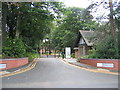
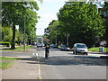
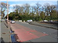
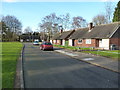
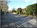
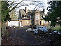
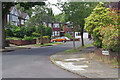
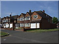
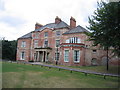
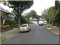
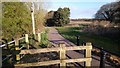
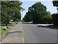
13 photos from this area
Area Information
Key information about the B20 2PJ including its size, population, and administrative classification.
- Area Type
- Postcode
- Area Size
- 8164 m²
- Population
- 1787
- Population Density
- 4278 people/km²
House Prices in B20 2PJ
23
Properties
£605,000
Average Sold Price
£185,000
Lowest Price
£810,000
Highest Price
Showing 23 properties
| Address | Type | Beds | Baths | Last Sale Price | Last Sale Date | |
|---|---|---|---|---|---|---|
| 135 Handsworth Wood Road, Birmingham, B20 2PJ | Detached | - | - | £780,000 | Mar 2022 | |
| 137 Handsworth Wood Road, Birmingham, B20 2PJ | Detached | 9 | 4 | £750,000 | May 2020 | |
| 143 Handsworth Wood Road, Birmingham, B20 2PJ | Bungalow | 3 | - | £500,000 | May 2019 | |
| 133 Handsworth Wood Road, Birmingham, B20 2PJ | hospital_care_home | - | - | £810,000 | Mar 2017 | |
| 137A Handsworth Wood Road, Birmingham, B20 2PJ | Bungalow | - | - | £185,000 | Sep 2005 | |
| Flat 2, 139 Handsworth Wood Road, Birmingham, B20 2PJ | Flat | 6 | 5 | - | - | |
| Flat 3A, 141 Handsworth Wood Road, Birmingham, B20 2PJ | Flat | - | - | - | - | |
| Flat 2, 141 Handsworth Wood Road, Birmingham, B20 2PJ | Flat | - | - | - | - | |
| Flat 8, 141 Handsworth Wood Road, Birmingham, B20 2PJ | Flat | - | - | - | - | |
| Garden, 141 Handsworth Wood Road, Birmingham, B20 2PJ | Flat | - | - | - | - |
Page 1 of 3
Energy Efficiency in B20 2PJ
Amenities
Schools
| Rank | School | Type | Entry gender | Ages |
|---|
Explore more schools in this area
Go to Schools tabDemographics
Household Size
Family (3-5 people)
most common
Accommodation Type
Houses
most common
Tenure
75
majority
Ethnic Group
asian_total
most common
Religion
N/A
most common
Household Composition
N/A
most common
Age
47
median
Adults (30-64 years)
most common
Household Deprivation
N/A
with no deprivation
NS-SEC
32
in Lower managerial occupations
Explore more demographic insights in this area
Go to Demographics tabPlanning
Planning Constraints
- Flood RiskPremium
- Ramsar Wetland SitesPremium
- Area of Outstanding Natural BeautyPremium
- Protected Nature ReservePremium
- Protected WoodlandPremium