Area Overview for B20 2LY
Photos of B20 2LY
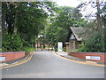
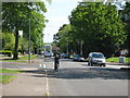
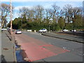
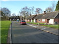
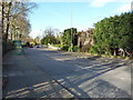
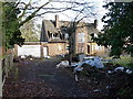
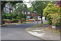
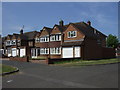
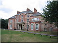
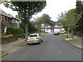
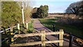
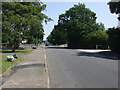
13 photos from this area
Area Information
Key information about the B20 2LY including its size, population, and administrative classification.
- Area Type
- Postcode
- Area Size
- 1.8 hectares
- Population
- 1737
- Population Density
- 3895 people/km²
House Prices in B20 2LY
29
Properties
£226,041
Average Sold Price
£45,000
Lowest Price
£475,500
Highest Price
Showing 29 properties
| Address | Type | Beds | Baths | Last Sale Price | Last Sale Date | |
|---|---|---|---|---|---|---|
| 118 West Avenue, Birmingham, B20 2LY | house | - | - | £390,000 | Feb 2025 | |
| 81 West Avenue, Birmingham, B20 2LY | Detached | 4 | 1 | £475,500 | Aug 2022 | |
| 67 West Avenue, Birmingham, B20 2LY | house | - | - | £375,000 | Jun 2022 | |
| 87 West Avenue, Birmingham, B20 2LY | Detached | 3 | 1 | £292,500 | Mar 2021 | |
| 102 West Avenue, Birmingham, B20 2LY | house | - | - | £290,000 | Feb 2019 | |
| 83 West Avenue, Birmingham, B20 2LY | Detached | 3 | 2 | £345,000 | Jan 2018 | |
| 116 West Avenue, Birmingham, B20 2LY | house | - | - | £240,000 | May 2015 | |
| 63 West Avenue, Birmingham, B20 2LY | Semi-detached | 3 | 2 | £210,000 | Jul 2014 | |
| 100 West Avenue, Birmingham, B20 2LY | house | 3 | - | £229,000 | Oct 2011 | |
| 61 West Avenue, Birmingham, B20 2LY | house | - | - | £211,000 | Oct 2009 |
Page 1 of 3
Energy Efficiency in B20 2LY
Amenities
Schools
| Rank | School | Type | Entry gender | Ages |
|---|
Explore more schools in this area
Go to Schools tabDemographics
Household Size
Family (3-5 people)
most common
Accommodation Type
Houses
most common
Tenure
82
majority
Ethnic Group
asian_total
most common
Religion
N/A
most common
Household Composition
N/A
most common
Age
47
median
Adults (30-64 years)
most common
Household Deprivation
N/A
with no deprivation
NS-SEC
35
in Lower managerial occupations
Explore more demographic insights in this area
Go to Demographics tabPlanning
Planning Constraints
- Flood RiskPremium
- Ramsar Wetland SitesPremium
- Area of Outstanding Natural BeautyPremium
- Protected Nature ReservePremium
- Protected WoodlandPremium