Area Overview for B20 2HN
Photos of B20 2HN
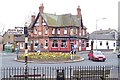

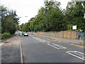
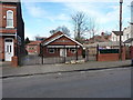
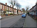
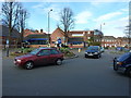
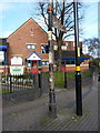
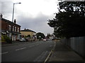
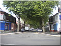

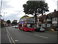
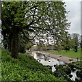
33 photos from this area
Area Information
Key information about the B20 2HN including its size, population, and administrative classification.
- Area Type
- Postcode
- Area Size
- 2.2 hectares
- Population
- 1795
- Population Density
- 6841 people/km²
House Prices in B20 2HN
48
Properties
£186,402
Average Sold Price
£44,000
Lowest Price
£580,000
Highest Price
Showing 48 properties
| Address | Type | Beds | Baths | Last Sale Price | Last Sale Date | |
|---|---|---|---|---|---|---|
| 38 Winleigh Road, Birmingham, B20 2HN | Detached | 4 | 3 | £580,000 | Jun 2024 | |
| 55 Winleigh Road, Birmingham, B20 2HN | Terraced | 3 | 1 | £200,000 | Jan 2020 | |
| 53 Winleigh Road, Birmingham, B20 2HN | Terraced | 3 | 1 | £160,000 | Oct 2019 | |
| 59 Winleigh Road, Birmingham, B20 2HN | Semi-detached | 5 | 2 | £354,950 | Aug 2018 | |
| 24 Winleigh Road, Birmingham, B20 2HN | Semi-detached | 3 | 1 | £249,950 | Jul 2018 | |
| 25 Winleigh Road, Birmingham, B20 2HN | Semi-detached | 4 | 1 | £235,000 | Apr 2018 | |
| 41 Winleigh Road, Birmingham, B20 2HN | Semi-detached | 4 | 3 | £320,000 | Jun 2017 | |
| 19 Winleigh Road, Birmingham, B20 2HN | Semi-detached | 3 | - | £177,000 | May 2016 | |
| 22 Winleigh Road, Birmingham, B20 2HN | Semi-detached | 3 | - | £171,000 | Mar 2016 | |
| 31 Winleigh Road, Birmingham, B20 2HN | Detached | - | - | £120,000 | Aug 2012 |
Page 1 of 5
Energy Efficiency in B20 2HN
Amenities
Schools
| Rank | School | Type | Entry gender | Ages |
|---|
Explore more schools in this area
Go to Schools tabDemographics
Household Size
Family (3-5 people)
most common
Accommodation Type
Houses
most common
Tenure
54
majority
Ethnic Group
asian_total
most common
Religion
N/A
most common
Household Composition
N/A
most common
Age
47
median
Adults (30-64 years)
most common
Household Deprivation
N/A
with no deprivation
NS-SEC
22
in Lower managerial occupations
Explore more demographic insights in this area
Go to Demographics tabPlanning
Planning Constraints
- Flood RiskPremium
- Ramsar Wetland SitesPremium
- Area of Outstanding Natural BeautyPremium
- Protected Nature ReservePremium
- Protected WoodlandPremium