Area Overview for B20 2EH
Photos of B20 2EH
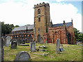
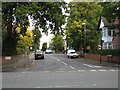
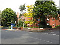
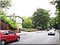

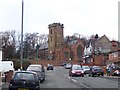
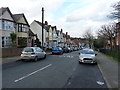
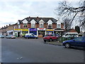
63 photos from this area
Area Information
Key information about the B20 2EH including its size, population, and administrative classification.
- Area Type
- Postcode
- Area Size
- 9475 m²
- Population
- 1641
- Population Density
- 6187 people/km²
House Prices in B20 2EH
14
Properties
£152,954
Average Sold Price
£46,000
Lowest Price
£310,000
Highest Price
Showing 14 properties
| Address | Type | Beds | Baths | Last Sale Price | Last Sale Date | |
|---|---|---|---|---|---|---|
| 10 Inglenook Drive, Birmingham, B20 2EH | Bungalow | 2 | 1 | £250,000 | Sep 2024 | |
| 20 Inglenook Drive, Birmingham, B20 2EH | Retail | 2 | 1 | £250,000 | Aug 2022 | |
| 14 Inglenook Drive, Birmingham, B20 2EH | Retail | 3 | 1 | £310,000 | Jun 2022 | |
| 22 Inglenook Drive, Birmingham, B20 2EH | Semi-detached | 2 | 1 | £126,000 | Apr 2015 | |
| 12 Inglenook Drive, Birmingham, B20 2EH | Detached | - | - | £205,000 | Nov 2007 | |
| 5 Inglenook Drive, Birmingham, B20 2EH | Bungalow | - | - | £159,950 | Jun 2006 | |
| 18 Inglenook Drive, Birmingham, B20 2EH | Bungalow | 2 | 2 | £175,000 | Jan 2006 | |
| 17 Inglenook Drive, Birmingham, B20 2EH | Semi-detached | - | - | £135,000 | Jun 2005 | |
| 11 Inglenook Drive, Birmingham, B20 2EH | Terraced | - | - | £65,000 | Dec 2000 | |
| 9 Inglenook Drive, Birmingham, B20 2EH | Semi-detached | 2 | 1 | £56,000 | Nov 1997 |
Page 1 of 2
Energy Efficiency in B20 2EH
Amenities
Schools
| Rank | School | Type | Entry gender | Ages |
|---|
Explore more schools in this area
Go to Schools tabDemographics
Household Size
One person
most common
Accommodation Type
Houses
most common
Tenure
62
majority
Ethnic Group
asian_total
most common
Religion
N/A
most common
Household Composition
N/A
most common
Age
47
median
Adults (30-64 years)
most common
Household Deprivation
N/A
with no deprivation
NS-SEC
21
in Lower managerial occupations
Explore more demographic insights in this area
Go to Demographics tabPlanning
Planning Constraints
- Flood RiskPremium
- Ramsar Wetland SitesPremium
- Area of Outstanding Natural BeautyPremium
- Protected Nature ReservePremium
- Protected WoodlandPremium