Area Overview for B20 2AB
Photos of B20 2AB
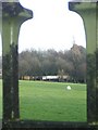
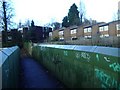
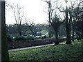
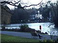
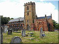
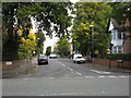
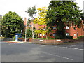
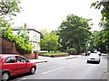
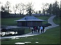
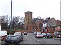
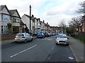
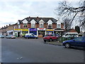
63 photos from this area
Area Information
Key information about the B20 2AB including its size, population, and administrative classification.
- Area Type
- Postcode
- Area Size
- 2.4 hectares
- Population
- 1641
- Population Density
- 6187 people/km²
House Prices in B20 2AB
45
Properties
£193,671
Average Sold Price
£56,000
Lowest Price
£440,000
Highest Price
Showing 45 properties
| Address | Type | Beds | Baths | Last Sale Price | Last Sale Date | |
|---|---|---|---|---|---|---|
| 47 Denewood Avenue, Birmingham, B20 2AB | house | - | - | £230,000 | Aug 2024 | |
| 41 Denewood Avenue, Birmingham, B20 2AB | Detached | 4 | 1 | £440,000 | Mar 2024 | |
| 23 Denewood Avenue, Birmingham, B20 2AB | house | 5 | 2 | £370,000 | Feb 2023 | |
| 40 Denewood Avenue, Birmingham, B20 2AB | Semi-detached | 3 | 1 | £250,000 | Jan 2020 | |
| 21 Denewood Avenue, Birmingham, B20 2AB | Semi-detached | 3 | 1 | £241,500 | Mar 2019 | |
| 22 Denewood Avenue, Birmingham, B20 2AB | Detached | 4 | 2 | £305,000 | Jul 2018 | |
| 32 Denewood Avenue, Birmingham, B20 2AB | Semi-detached | 3 | 1 | £240,000 | Mar 2018 | |
| 26 Denewood Avenue, Birmingham, B20 2AB | Semi-detached | 3 | 1 | £197,000 | Sep 2017 | |
| 19 Denewood Avenue, Birmingham, B20 2AB | house | - | - | £257,000 | May 2016 | |
| 6 Denewood Avenue, Birmingham, B20 2AB | house | - | - | £180,000 | Feb 2014 |
Page 1 of 5
Energy Efficiency in B20 2AB
Amenities
Schools
| Rank | School | Type | Entry gender | Ages |
|---|
Explore more schools in this area
Go to Schools tabDemographics
Household Size
One person
most common
Accommodation Type
Houses
most common
Tenure
62
majority
Ethnic Group
asian_total
most common
Religion
N/A
most common
Household Composition
N/A
most common
Age
47
median
Adults (30-64 years)
most common
Household Deprivation
N/A
with no deprivation
NS-SEC
21
in Lower managerial occupations
Explore more demographic insights in this area
Go to Demographics tabPlanning
Planning Constraints
- Flood RiskPremium
- Ramsar Wetland SitesPremium
- Area of Outstanding Natural BeautyPremium
- Protected Nature ReservePremium
- Protected WoodlandPremium