Area Overview for B20 2DQ
Photos of B20 2DQ
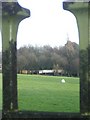
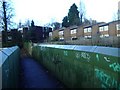
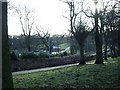
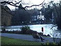
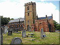
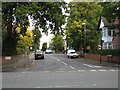
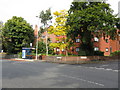
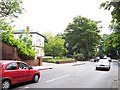
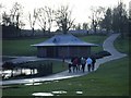
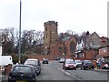
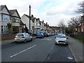
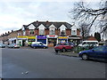
63 photos from this area
Area Information
Key information about the B20 2DQ including its size, population, and administrative classification.
- Area Type
- Postcode
- Area Size
- 7121 m²
- Population
- 1631
- Population Density
- 5157 people/km²
House Prices in B20 2DQ
42
Properties
£297,750
Average Sold Price
£116,000
Lowest Price
£530,000
Highest Price
Showing 42 properties
| Address | Type | Beds | Baths | Last Sale Price | Last Sale Date | |
|---|---|---|---|---|---|---|
| 11 Handsworth Wood Road, Birmingham, B20 2DQ | Detached | - | - | £285,000 | Apr 2019 | |
| 7 Handsworth Wood Road, Birmingham, B20 2DQ | Detached | 5 | 1 | £530,000 | Mar 2017 | |
| 25 Handsworth Wood Road, Birmingham, B20 2DQ | Terraced | 5 | - | £260,000 | Dec 2016 | |
| 9 Handsworth Wood Road, Birmingham, B20 2DQ | Semi-detached | - | - | £116,000 | Dec 1998 | |
| 35 Handsworth Wood Road, Birmingham, B20 2DQ | Flat | 1 | 1 | - | - | |
| 21 HANDSWORTH WOOD ROAD, Birmingham, B20 2DQ | Terraced | 5 | - | - | - | |
| Ground Floor Front Flat, 21 Handsworth Wood Road, Birmingham, B20 2DQ | Flat | - | - | - | - | |
| Flat 2, 19 Handsworth Wood Road, Birmingham, B20 2DQ | Flat | 1 | - | - | - | |
| Ground Floor And First Floor Flat, 19 Handsworth Wood Road, Birmingham, B20 2DQ | Flat | - | - | - | - | |
| Flat Ground Floor Rear, 21 Handsworth Wood Road, Birmingham, B20 2DQ | Flat | - | - | - | - |
Page 1 of 5
Energy Efficiency in B20 2DQ
Amenities
Schools
| Rank | School | Type | Entry gender | Ages |
|---|
Explore more schools in this area
Go to Schools tabDemographics
Household Size
One person
most common
Accommodation Type
Houses
most common
Tenure
46
majority
Ethnic Group
asian_total
most common
Religion
N/A
most common
Household Composition
N/A
most common
Age
47
median
Adults (30-64 years)
most common
Household Deprivation
N/A
with no deprivation
NS-SEC
24
in Lower managerial occupations
Explore more demographic insights in this area
Go to Demographics tabPlanning
Planning Constraints
- Flood RiskPremium
- Ramsar Wetland SitesPremium
- Area of Outstanding Natural BeautyPremium
- Protected Nature ReservePremium
- Protected WoodlandPremium