Area Overview for B20 1EE
Photos of B20 1EE
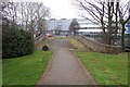
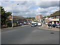
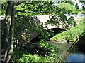
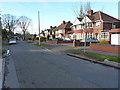
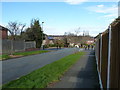
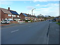
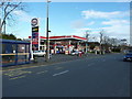
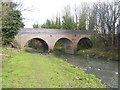
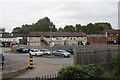
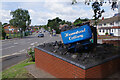
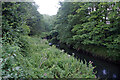
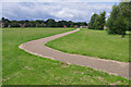
28 photos from this area
Area Information
Key information about the B20 1EE including its size, population, and administrative classification.
- Area Type
- Postcode
- Area Size
- 1.1 hectares
- Population
- 1659
- Population Density
- 3227 people/km²
House Prices in B20 1EE
25
Properties
£174,657
Average Sold Price
£59,000
Lowest Price
£305,000
Highest Price
Showing 25 properties
| Address | Type | Beds | Baths | Last Sale Price | Last Sale Date | |
|---|---|---|---|---|---|---|
| 64 Millfield Road, Birmingham, B20 1EE | Semi-detached | 3 | 2 | £305,000 | Mar 2025 | |
| 48 Millfield Road, Birmingham, B20 1EE | house | - | - | £270,000 | Mar 2020 | |
| 52 Millfield Road, Birmingham, B20 1EE | house | - | - | £205,300 | Jul 2018 | |
| 16 Millfield Road, Birmingham, B20 1EE | Semi-detached | 3 | 1 | £180,500 | Mar 2018 | |
| 18 Millfield Road, Birmingham, B20 1EE | house | - | - | £179,950 | Jun 2017 | |
| 46 Millfield Road, Birmingham, B20 1EE | house | - | - | £245,000 | Jan 2017 | |
| 42 Millfield Road, Birmingham, B20 1EE | Semi-detached | 3 | 1 | £183,000 | Jun 2016 | |
| 22 Millfield Road, Birmingham, B20 1EE | house | 3 | - | £157,500 | Dec 2011 | |
| 34 Millfield Road, Birmingham, B20 1EE | house | - | - | £131,000 | Apr 2011 | |
| 54 Millfield Road, Birmingham, B20 1EE | Terraced | - | - | £174,000 | May 2006 |
Page 1 of 3
Energy Efficiency in B20 1EE
Amenities
Schools
| Rank | School | Type | Entry gender | Ages |
|---|
Explore more schools in this area
Go to Schools tabDemographics
Household Size
Family (3-5 people)
most common
Accommodation Type
Houses
most common
Tenure
82
majority
Ethnic Group
asian_total
most common
Religion
N/A
most common
Household Composition
N/A
most common
Age
47
median
Adults (30-64 years)
most common
Household Deprivation
N/A
with no deprivation
NS-SEC
26
in Lower managerial occupations
Explore more demographic insights in this area
Go to Demographics tabPlanning
Planning Constraints
- Flood RiskPremium
- Ramsar Wetland SitesPremium
- Area of Outstanding Natural BeautyPremium
- Protected Nature ReservePremium
- Protected WoodlandPremium